
What is recorded here
Located on a rise towards the bottom of a NW-facing slope. It is depicted only o the 1907 edition of the OS 6-inch map where it is described in gothic lettering as a ‘Carn’. This is an oval slightly raised grass and scrub-covered stony area (dims 16m E-W; 12m N-S: max. H 1m) with a large boulder (dims 1m x 0.7m) at the E edge.
Compiled by: Claire Breen
Date of upload: 03 August 2011
Neolithic passage tomb; significant as a rare surviving example of an early megalithic structure in the region, though its precise date and function remain poorly understood due to limited archaeological investigation.
The monument record does not grant public access. Check the route and ask the landowner before entering private land.
- What survives
- Recorded monument
Places near here
 Court tomb in ListellanCourt tomb · 664 yd
 ListellanFairy fort / earthen ringfort · 735 yd
 Roosky Castle (Site of)Castle, ringwork · 1410 yd
 Lisarrilly HillMountain / peak · 1480 yd
 Church in Templetate (dartree By., Clones Par.)Church · 1675 yd
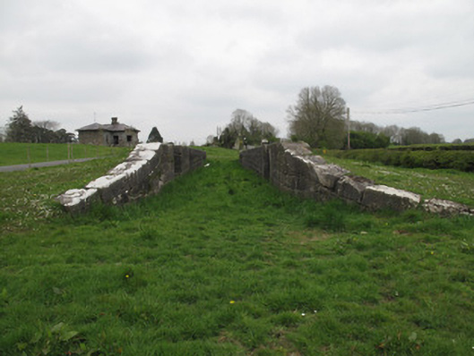 Templetate Locklock · 1751 yd
 Jaundice WellSpring · 1.7 mi
 KillycoonaghWood · 2.8 mi
 Common LimeCommon Lime · 2.9 mi
 Saint John's WellSpring · 3.0 mi
 Rough HillMountain / peak · 3.8 mi
 Dagda's CauldronHeritage attraction · 4.8 mi
Other information
Photo: Credit not shown in the picture search · Rights wording not checked; contact us if this picture should be removed