
What is recorded here
Investigations in 1988 for phase 2 of the NE Gas Pipeline revealed a subrectangular pit (L1.10m, Wth. 0.60m) with a blackened, stoney fill. It was considered by the excavator to be a pot boiler site or burnt pit. Located on very flat land N of the Broadmeadow river (Gowen 1989, 12).
Compiled by: Geraldine Stout
Date of upload: 26 August 2011
The monument record does not grant public access. Check the route and ask the landowner before entering private land.
- What survives
- Recorded monument
Places near here
 Ring-ditch in BalhearyRing-ditch · 542 yd
 Enclosure in BalhearyEnclosure · 626 yd
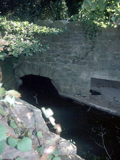 Murray's Bridgebridge · 1013 yd
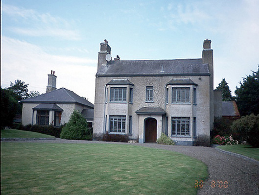 Skidoo Housefarm house · 1123 yd
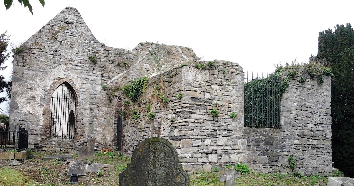 CastleCastle, tower house · 1484 yd
 Castle (Site of)Castle, tower house · 1.6 mi
 St Cronans WellSpring · 1.8 mi
 Graveyard in KillosseryGraveyard · 2.1 mi
 The JackoWood · 2.3 mi
 Kim Archibold MemorialMemorial · 2.3 mi
 Fingal Tourism OfficeVisitor information · 2.4 mi
 Wooly Ward's FarmHeritage attraction · 3.9 mi
Other information
Photo: Credit not shown in the picture search · Rights wording not checked; contact us if this picture should be removed