What is recorded here
The following description is derived from both the published 'Archaeological Inventory of County Louth' (Dublin: Stationery Office, 1986) and the 'Archaeological Survey of County Louth' (Dublin: Stationery Office, 1991). In certain instances the entries have been revised and updated in the light of recent research.
Date of upload/revision: 17 July 2007
Situated in destroyed enclosure (LH014-014001-) and consisting of an artificially raised mound which contained about twenty burials according to a local informant in 1967. A ridge or bank extended through the centre of the site. The graves consisted of rectangular trenches c. 1.8m long and were filled with dark earth. The burials were orientated E-W. The above description is based on information received from the then owner of the land at the time of the destruction of the enclosure. The site is referred to as 'Lis na Kelic' in the OS Letters (CLAJ 1910, 291), which is possibly a corruption of 'Liss na Relig'.
The monument record does not grant public access. Check the route and ask the landowner before entering private land.
- What survives
- Recorded monument
Places near here
 Fulacht fia in CookstownFulacht fia · 262 yd
 Site of Cookstown CastleCastle, unclassified · 1026 yd
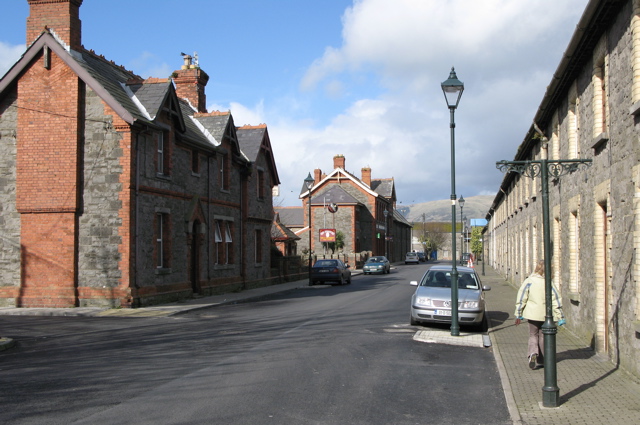 Enclosure in CardistownEnclosure · 1138 yd
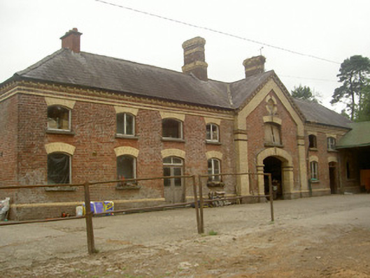 Cardistown Housefarmyard complex · 1349 yd
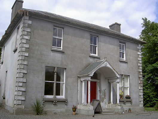 Arthurstown Housepresbytery/parochial/curate's house · 1390 yd
 CastleCastle, unclassified · 1.6 mi
 Long PlantationForest · 2.0 mi
 Matthew's HillMountain / peak · 2.8 mi
 English hollyEnglish holly · 2.9 mi
 Flat cemetery in AnnaheanFlat cemetery · 3.2 mi
 Yellow HillMountain / peak · 3.2 mi
 Sir Frederick Foster MemorialMemorial · 3.4 mi