
What is recorded here
From the National Monuments Service (Archaeological Survey of Ireland) record LH014-057
Places near here
Photo credits
- Kmcnamee, Wikimedia Commons · CC BY-SA 4.0
- National Inventory of Architectural Heritage
- Maker not stated on source page, www.pinterest.com
- Maker not stated on source page, commons.wikimedia.org
- Maker not stated on source page, www.flickr.com
- Maker not stated on source page, en.wikipedia.org
- Maker not stated on source page, readymap.irish
 Páirc Sean Mac Diarmada, Sean McDermotts GAAGAA ground · 862 yd
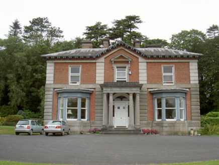 Cardistown HouseHouse · 1194 yd
Explorer Tom Cardistown House in Cardistown is dressed up like an Italian gentleman, ready to outlast the zombies with sheer style.…
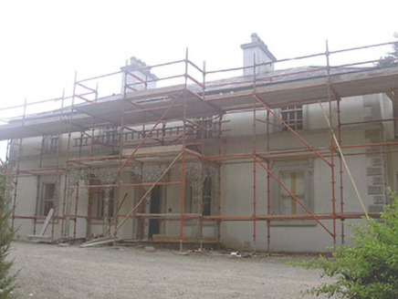 Cookstown HouseHouse · 1404 yd
Explorer Tom Cookstown House would tell a teenager that the 1800s were basically a really expensive fashion show with bad lighting.…
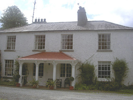 Charlestown HouseRectory/glebe/vicarage/curate's house · 1528 yd
Explorer Tom Charlestown House in Cookstown is pretending to be a secret escape route for its first owner. It’s got those tripartite…
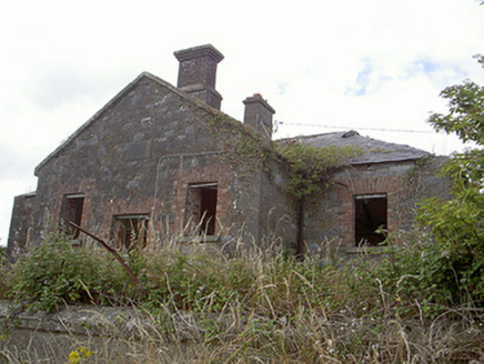 Stormanstown National SchoolSchool · 1642 yd
Explorer Tom Stormanstown National School is listening to the ghosts of children still doing their sums through those thick stone…
 CastleCastle, motte and bailey · 1673 yd
Explorer Tom Stormanstown Castle is currently in a fairy dispute over who gets to park their tiny carriages first. The mound is huge…
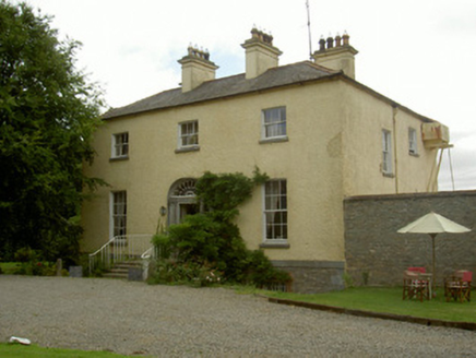 Churchtown HouseRectory/glebe/vicarage/curate's house · 1719 yd
Explorer Tom Churchtown House in County Louth has a name that actually means 'the place where the priest forgot his trousers'. It’s…
Westerns GAAGAA ground · 1.3 mi Graveyard in ArtnaleveryGraveyard · 1.5 mi
Explorer Tom Graveyard in Artnalevery is locked in an eternal feud with the rain, which keeps trying to wash away the history before…
 Cross-inscribed stone in CooleCross-inscribed stone · 1.6 mi
Explorer Tom Cross-inscribed stone in Coole has a ghost too lazy to haunt it properly. It’s just a boulder with a cross, but it acts…
 Earthwork in Corstown (slane Lower By.)Earthwork · 1.8 mi
Explorer Tom This Earthwork in Corstown has had so many names it’s confused itself. The double ditches look like a road that got…
 St. Oliver Plunkett's CemeteryCemetery · 2.3 mi
Explorer Tom St. Oliver Plunkett's Cemetery in County Louth is full of stories about smugglers hiding whiskey in their coffins to…
More archaeology and monuments in County Louth · All of County Louth

What do you know about this place?Tap to add a comment or ask a question