
What is recorded here
From the National Monuments Service (Archaeological Survey of Ireland) record DU008-108001
Places near here
Photo credits
- National Inventory of Architectural Heritage
- Maker not stated on source page, readymap.irish
- Maker not stated on source page, commons.wikimedia.org
- Maker not stated on source page, en.wikipedia.org
- Maker not stated on source page, www.flickr.com
- Picture: Archiseek image via Pinterest
- Adc88 at en.wikipedia, Wikimedia Commons · CC0
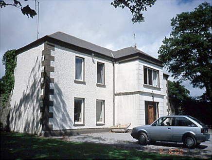 Rogerstown HouseFarm house · 554 yd
Explorer Tom Rogerstown House in Rogerstown is a pebble-dashed farm house from the 1780s. It’s got some fancy terracotta pots on the…
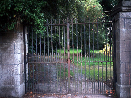 KnockdrominGates/railings/walls · 912 yd
Explorer Tom Knockdromin’s gate piers in Beau are limestone ashlar with moulded cornices from 1800. The wrought-iron gates have…
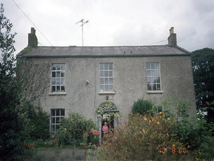 Whitestown HouseFarm house · 951 yd
Explorer Tom Whitestown House in Whitestown Lusk Ed makes a strange creaking sound at night that sounds exactly like a horse…
 graveyard/cemetery1063 yd
Explorer Tom Graveyard in Whitestown has been sitting near St. Maur’s Church ruin since the 1740s, listening to every bad decision…
 farmyard complex1095 yd
Explorer Tom This farmyard complex in Effelstown smells like a mix of old hay, fresh ambition, and that specific scent of red brick…
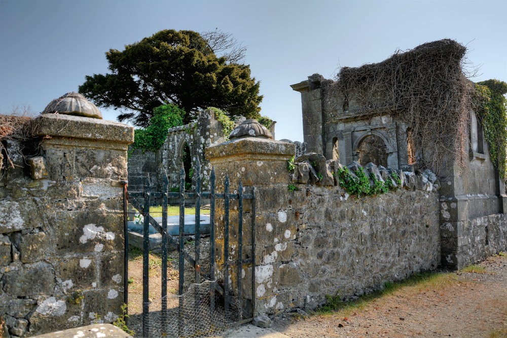 Whitestown Cemetery (Saint Maur's)Cemetery · 1098 yd
Explorer Tom Whitestown Cemetery (Saint Maur's) would review its own visitors as 'adequate but lacking in spiritual depth' if it had…
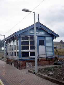 Rusk and Lusk Railway StationSignal box · 1195 yd
Explorer Tom Rusk and Lusk Railway Station's signal box in Rogerstown is now disused, which means it’s finally taking its…
 Earthwork in Whitestown (balrothery East By. Lusk Ed)Earthwork · 1607 yd
Explorer Tom Whitestown’s Earthwork is a circle with a door, basically a prehistoric apartment with bad insulation. I reckon it took…
 Holy well in RahenyHoly well · 1.3 mi
Explorer Tom Holy well in Raheny was St Ossan's well, now covered up and draining into the Santry River like a bad plumb. The site…
 Mapped graveyardGraveyard · 2.0 mi
Explorer Tom Mapped graveyard in County Dublin makes a weird rattling sound at night that I’m convinced is just the ghosts…
 Turvey HouseCastle, tower house · 2.1 mi
Explorer Tom Turvey House in Turvey is the ultimate renovation project gone wrong, mixing tower house stones with an early…
 Newbridge House and DemesneHeritage attraction · 2.3 mi
Explorer Tom Newbridge House near Donabate looks like a Georgian family has stepped out for tea and left an entire estate for the…
More archaeology and monuments in County Dublin · All of County Dublin

What do you know about this place?Tap to add a comment or ask a question