What is recorded here
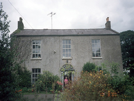
Detached three-bay two-storey farmhouse, c.1850. Two-bay two-storey lean-to return to rear possibly incorporating fabric of earlier house. Rubble stone barn, c.1850 and conservatory, c.1920, to left-hand side. Rubble stone farm buildings, c.1850. Corn mill, rebuilt 1852, possibly containing fabric of an earlier mill, to site, now derelict.ROOF: Double pitched slate roof with terracotta ridge tiles and nap rendered chimney stacks to gable walls; lean-to monopitch slate roof; cast-iron rainwater goods. WALLS: Rough-cast render, rubble-stone walls and limestone quoins to mill. OPENINGS: Square headed openings with rendered reveals; granite cills, aluminium casements and timber sash windows to side and timber sash windows to front elevation; round headed timber sash to rear elevation; round headed door with leaded fanlight; fluted timber ionic columns and probably original timber panelled door.
This does not grant access. Most recorded buildings are privately owned; view them only from public ground unless the owner allows entry.
Places near here
 Cist in Whitestown (balrothery East By. Lusk Ed),whitestown (balrothery East By., Balscaddan Ed),whitestown (balrothery East By., Balscaddan Ed) (detached Portion),whitestown (balrothery West By.)Cist · 333 yd
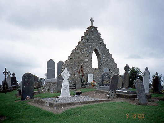 graveyard/cemeterygraveyard/cemetery · 388 yd
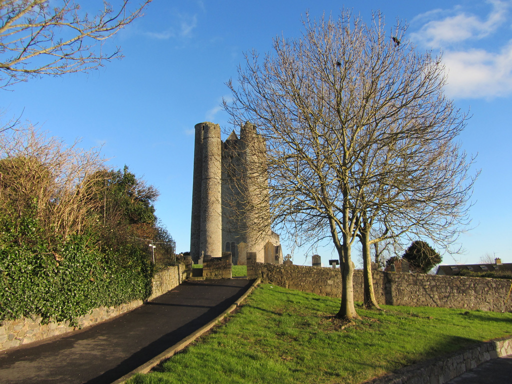 St. Maurs Ch. (in ruins)Church · 397 yd
 Field system in RogerstownField system · 632 yd
 The MillbankVisitor information · 1686 yd
 Rush South BeachBeach / strand · 1.0 mi
 JB Autobody Ltd.Visitor information · 1.6 mi
 Orlynn ParkMemorial · 1.7 mi
 Lusk Tidy TownsMemorial · 1.7 mi
 CastleCastle, unclassified · 2.3 mi
 Turvey Allotments and Nature ReserveNature reserve · 2.6 mi
 Turvey HouseCastle, tower house · 2.6 mi
Other information
Photo: National Inventory of Architectural Heritage · Website use allowed for educational or private purposes with source credit