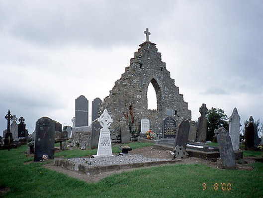
What is recorded here
Graveyard with markers from c.1740 to present. Ruin of Saint Maur's Church [SMR DU008-021001-] to site.
This does not grant access. Most recorded buildings are privately owned; view them only from public ground unless the owner allows entry.
Places near here
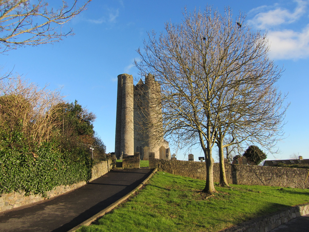 St. Maurs Ch. (in ruins)Church · 9 yd
 Cist in Whitestown (balrothery East By. Lusk Ed),whitestown (balrothery East By., Balscaddan Ed),whitestown (balrothery East By., Balscaddan Ed) (detached Portion),whitestown (balrothery West By.)Cist · 119 yd
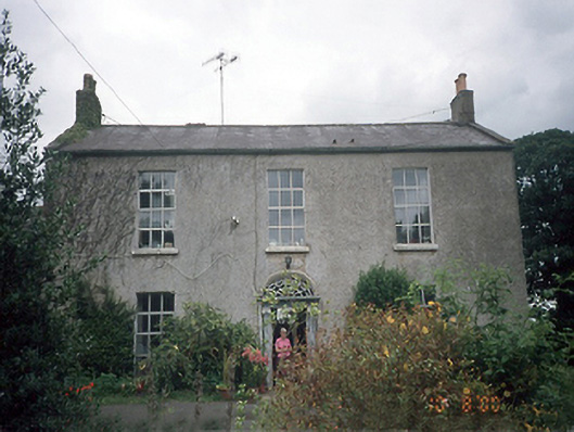 Whitestown Housefarm house · 388 yd
 Field system in RogerstownField system · 658 yd
 The MillbankVisitor information · 1402 yd
 Rush South BeachBeach / strand · 1411 yd
 JB Autobody Ltd.Visitor information · 1.4 mi
 The Farmhouse 1722Memorial · 1.7 mi
 Orlynn ParkMemorial · 1.9 mi
 Reilly's HillWood · 2.0 mi
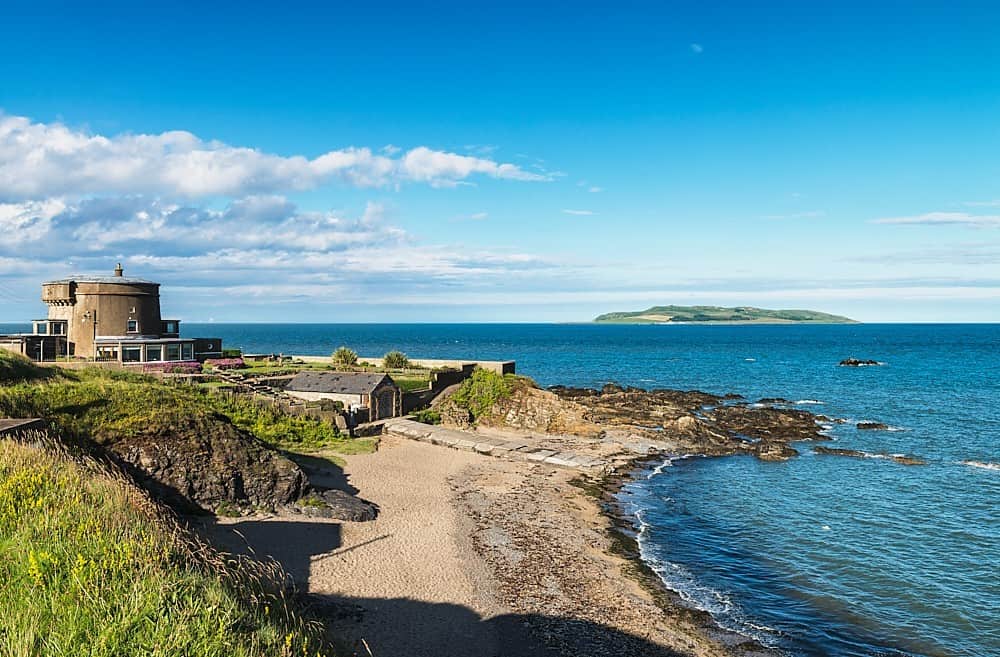 Tower Bay BeachBeach / strand · 2.2 mi
 CastleCastle, unclassified · 2.5 mi
Other information
Photo: National Inventory of Architectural Heritage · Website use allowed for educational or private purposes with source credit