What is recorded here
In tillage field. Circular-shaped cropmark with entrance gap at SE with rectangular-shaped cropmarks to N possibly representing a field system are visible on Apple Maps orthoimage. Faint cropmarks of circular-shaped earthwork with possible field system to N are visible on Google Earth orthoimage taken 24/06/2018.
See attached orthoimage taken from Apple Maps and Google Earth orthoimage
Compiled by: Caimin O'Brien based on details provided by Jean-Charles Caillère
Date of upload: 23 December 2022
The monument record does not grant public access. Check the route and ask the landowner before entering private land.
- What survives
- Recorded monument
Places near here
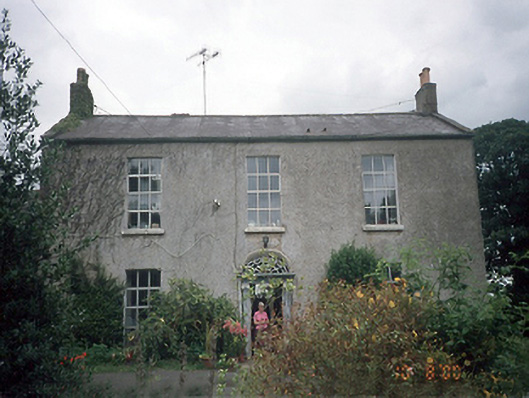 Whitestown Housefarm house · 668 yd
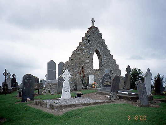 graveyard/cemeterygraveyard/cemetery · 819 yd
 Cist in Whitestown (balrothery East By. Lusk Ed),whitestown (balrothery East By., Balscaddan Ed),whitestown (balrothery East By., Balscaddan Ed) (detached Portion),whitestown (balrothery West By.)Cist · 863 yd
 Cist in BeauCist · 1208 yd
 The MillbankVisitor information · 1470 yd
 Rush South BeachBeach / strand · 1.1 mi
 Joe’s BridgeMemorial · 1.8 mi
 Graveyard in LuskGraveyard · 1.8 mi
 LoughshinnyVisitor information · 1.8 mi
 Castle (in ruins)Castle, Anglo-Norman masonry castle · 2.0 mi
 CastleCastle, unclassified · 2.1 mi
 Turvey Allotments and Nature ReserveNature reserve · 2.9 mi