What is recorded here
From the National Monuments Service (Archaeological Survey of Ireland) record DU008-035
Places near here
Photo credits
- National Inventory of Architectural Heritage
- Nigel Thompson, Geograph · Creative Commons Attribution-ShareAlike 2.0
- Maker not stated on source page, commons.wikimedia.org
- Maker not stated on source page, readymap.irish
- Maker not stated on source page, en.wikipedia.org
- jwd, Geograph · CC BY-SA 2.0
- FrankFlanagan, Wikimedia Commons · CC0
- Picture: Archiseek image via Pinterest
 KnockdrominGate lodge · 121 yd
Explorer Tom Knockdromin’s gate lodge in Beau is a four-bay single-storey affair from around 1900. It has a projecting porch that…
 farmyard complex253 yd
Explorer Tom This farmyard complex in Effelstown smells like a mix of old hay, fresh ambition, and that specific scent of red brick…
 Rush and Lusk Railway StationRailway station · 455 yd
Explorer Tom Rush and Lusk Railway Station in Effelstown has a cast-iron pedestrian bridge linking the platforms. It’s been standing…
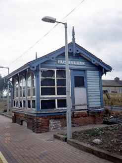 Rusk and Lusk Railway StationSignal box · 485 yd
Explorer Tom Rusk and Lusk Railway Station's signal box in Rogerstown is now disused, which means it’s finally taking its…
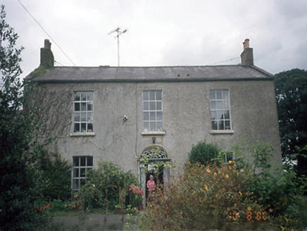 Whitestown HouseFarm house · 810 yd
Explorer Tom Whitestown House in Whitestown Lusk Ed makes a strange creaking sound at night that sounds exactly like a horse…
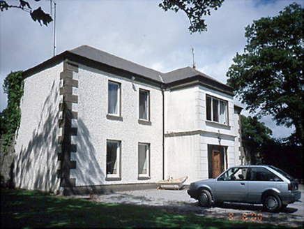 Rogerstown HouseFarm house · 883 yd
Explorer Tom Rogerstown House in Rogerstown is a pebble-dashed farm house from the 1780s. It’s got some fancy terracotta pots on the…
 Earthwork in Whitestown (balrothery East By. Lusk Ed)Earthwork · 1208 yd
Explorer Tom Whitestown’s Earthwork is a circle with a door, basically a prehistoric apartment with bad insulation. I reckon it took…
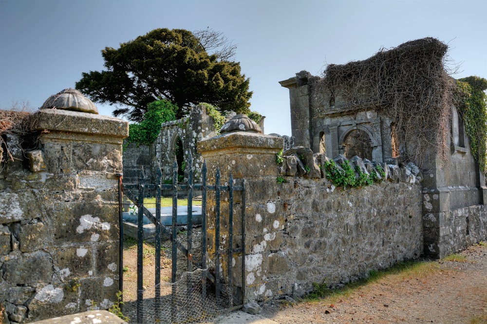 Whitestown Cemetery (Saint Maur's)Cemetery · 1233 yd
Explorer Tom Whitestown Cemetery (Saint Maur's) would review its own visitors as 'adequate but lacking in spiritual depth' if it had…
 Earthwork in Tyrrelstown Big (detached Portion)Earthwork · 1483 yd
Explorer Tom Earthwork in Tyrrelstown Big is a circular cropmark about thirty meters across, visible on Google Maps. It has a ditch…
 Rush South BeachBeach / strand · 1.4 mi
Explorer Tom Rush South Beach in County Dublin has a stream called Bride's coming in, which sounds like a holy woman doing her…
 Thomas AsheMemorial · 1.7 mi
Explorer Tom Thomas Ashe in County Dublin is a memorial that definitely knows he’s important. He’s probably standing there with his…
 Turvey HouseCastle, tower house · 2.3 mi
Explorer Tom Turvey House in Turvey is the ultimate renovation project gone wrong, mixing tower house stones with an early…
More archaeology and monuments in County Dublin · All of County Dublin

What do you know about this place?Tap to add a comment or ask a question