What is recorded here
Located within a pasture field, cropmarks indicate the presence of subsurface remains of a circular enclosure. The circular enclosure (diam. c.30m) visible on Google maps imagery (June 2018) is defined by a ditch (wth. c. 2.5m). Other cropmarks indicate associated activity within and to the east of the enclosure.
See attached Google Earth orthoimage taken 24/06/2018
Compiled by: Christine Baker
Date of upload: 8 November 2021
The monument record does not grant public access. Check the route and ask the landowner before entering private land.
- What survives
- Recorded monument
Places near here
 Horestone Housefarm house · 235 yd
 Fulacht fia in Tyrrelstown LittleFulacht fia · 467 yd
 Enclosure in EffelstownEnclosure · 809 yd
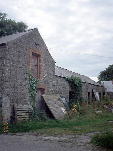 farmyard complexfarmyard complex · 1232 yd
 Joe’s BridgeMemorial · 1682 yd
 LuskMemorial · 1.0 mi
 CastleCastle, unclassified · 1.3 mi
 Castle (in ruins)Castle, Anglo-Norman masonry castle · 1.6 mi
 The MillbankVisitor information · 1.7 mi
 LoughshinnyVisitor information · 2.0 mi
 Rush South BeachBeach / strand · 2.0 mi
 Turvey Allotments and Nature ReserveNature reserve · 2.8 mi