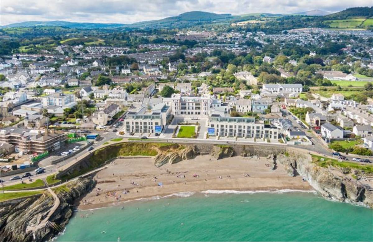
What is recorded here
Situated in level field immediately W of railway. Northern field boundary, well established hedge line is a townland boundary. An aerial photograph taken in 1972 (FSI 578/7) shows a circular cropmark of a levelled enclosure (diam c. 35m). Not visible at ground level.
Compiled by: Geraldine Stout
Updated by: Christine Baker
Date of upload: 15 December 2014
The monument record does not grant public access. Check the route and ask the landowner before entering private land.
- What survives
- Recorded monument
Places near here
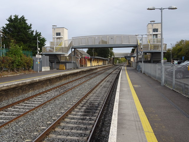 Rush and Lusk Railway Stationrailway station · 448 yd
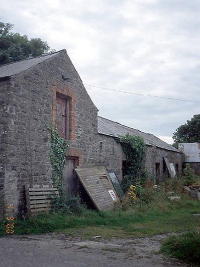 farmyard complexfarmyard complex · 450 yd
 Cist in BeauCist · 701 yd
 Fulacht fia in Tyrrelstown LittleFulacht fia · 1186 yd
 Graveyard in LuskGraveyard · 1.1 mi
 Joe’s BridgeMemorial · 1.1 mi
 The MillbankVisitor information · 1.6 mi
 CastleCastle, unclassified · 1.6 mi
 Rush South BeachBeach / strand · 1.7 mi
 The Birds of Rogerstown EstuaryVisitor information · 2.0 mi
 Turvey Allotments and Nature ReserveNature reserve · 2.5 mi
 Turvey HouseCastle, tower house · 2.5 mi
Other information
Photo: Credit not shown in the picture search · Rights wording not checked; contact us if this picture should be removed