DDiscover AloneMapAbout

Building in Carrowbleagh East

Building

The monument record does not grant public access. Check the route and ask the landowner before entering private land.

What do you know about this place?Tap to add a comment or ask a question

What you write will be public.

What is recorded here

The building is indicated though not named on both the 1837 and 1910 editions of the OS 6-inch maps. The remains comprise a single-storey, vaulted structure (6.25m L x 3.50m W internally) with walls 1.25m T. The walls stand to c. 2m high and the building is c. 4m high to the apex of the gable. The W wall contains…

Read the whole record
The building is indicated though not named on both the 1837 and 1910 editions of the OS 6-inch maps. The remains comprise a single-storey, vaulted structure (6.25m L x 3.50m W internally) with walls 1.25m T. The walls stand to c. 2m high and the building is c. 4m high to the apex of the gable. The W wall contains three openings, 2 splayed loops flanking a wider central one - possibly a window - the outer stonework is missing so it is impossible to know the external width of the opening: the S of these three opes is blocked up. There are three comparable openings in the E wall. The N and middle one are splayed and the S one appears to be the remains of a wall-press; its sides do not appear to be splayed. The outer ends of these opes are damaged and blocked up. There is no evidence for a window/opening in the S gable. Set about mid-way in the exterior face is a stone with a hole. Although it superficially looks like a gun-loop it is not splayed or regularly dressed. In addition, there is no evidence of an opening at this point on the interior of the wall and it would appear that this stone was inserted here. More than likely it originally served as the footing stone for the pintle of a door. The entrance to the building is via a pointed doorway (W 1.05m, H 1.60m) in the centre of the N wall. Only the upper part of the doorway is visible on the exterior, the lower being obscured by a mound of stone and gravel placed there to hinder access to the building (pers comm. landowner). The stones forming the doorway are all dressed with large punch marks typical of 16th/17th century work. The doorway is slightly battered and this is retained in the stonework for c. 0.50m on either side where it is then set back to the vertical. There is a local tradition that both the doorway and armorial stone set in the wall above it (SL019-200003-) were brought here from the old 'castle' to the W. However, while it seems likely that the armorial stone is certainly an insertion, the doorway, more than likely, is in situ and formed part of the original building. This building is described in the Buildings of architectural interest in Co. Sligo (An Foras Forbartha, 1973, p. 22) as a '17th century chapel' and in the subsequent edition of same (1979, p. 56) as 'apparently an early-17th century chapel, but so rustic as to give little indication as to its function, perhaps more likely a gate-lodge.' It is most unlikely that this building ever functioned as a gate-lodge and its identification as a 'chapel' would appear to be based on a miss-reading by the compiler of the report of the OS 6-inch map. The compiler appears to have linked the name 'Old Chapel' with this building rather than with that to the east in the grounds of Longford House. This interpretation of events is reinforced by the fact that the reference in the report to the latter building makes no mention of it as being a chapel. The vaulted building has clear affinities with tower-house rather than church architecture and, in addition, it is aligned N-S, an atypical orientation for a church. Wood-Martin recorded the tradition that it once served as a forge (1882, I, 118) and this would explain the flue-hole broken through the apex of the vault about two-thirds of the way S of the entrance: above this sits the chimney. It is difficult to assign a date to the building with any accuracy though the use of the punch dressing on the doorway would indicate a date in the later 16th/early 17th century.

From the National Monuments Service (Archaeological Survey of Ireland) record SL019-200001

Places near here

Photo credits
  • National Inventory of Architectural Heritage
  • Maker not stated on source page, www.megalithic.co.uk
  • Willow, Wikimedia Commons · CC BY 2.5
  • Maker not stated on source page, www.pinterest.com
  • Maker not stated on source page, uk.pinterest.com
  • Maker not stated on source page, www.alamy.com
  • Maker not stated on source page, www.tripadvisor.com.ph
  • Maker not stated on source page, en.wikipedia.org
  • Maker not stated on source page, in.pinterest.com
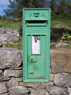
post box487 yd

Explorer Tom Post box in Cutteanta has an imaginary fan club that meets every Tuesday to complain about the mail service. It’s a…
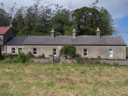
The Swallow LoftChurch/chapel · 503 yd

Explorer Tom The Swallow Loft in Cutteanta has strict rules about who gets to sit where, apparently decided by a committee of very…
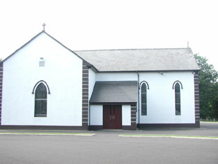
Catholic Church of Saint Peter and Saint PaulChurch/chapel · 680 yd

Explorer Tom Saint Peter and Saint Paul in Altanelvick would post a selfie of its stained glass with the caption 'Still glowing…

Cross-inscribed stone in DromardCross-inscribed stone · 774 yd

Explorer Tom Cross-inscribed stone in Dromard is roof over a holy well, covered in crudely inscribed crosses that look like they…

European ash776 yd

Explorer Tom European ash in County Sligo handles nosey neighbours by simply dropping a leaf directly on their heads every single…

Fairy fort / earthen ringfort in AltanelvickFairy fort / earthen ringfort · 811 yd

Explorer Tom Fairy fort / earthen ringfort in Altanelvick holds a fake world record for the most dramatic bank that doesn't actually…

Fairy fort / stone ringfort in AltanelvickFairy fort / stone ringfort · 1387 yd

Explorer Tom Altanelvick’s stone ringfort is having an identity crisis because it looks like a garden path that got lost. It’s…

Fairy fort / ringfort in Ballard,carrowgilpatrickFairy fort / ringfort · 1.2 mi

Explorer Tom Fairy fort in Ballard claims it’s older than the map-makers who tried to draw it as a D-shape because they ran out of…

Megalithic tomb in CarrowgilpatrickMegalithic tomb · 1.3 mi

Explorer Tom Megalithic tomb in Carrowgilpatrick is in a long-running feud with the village next door about who has the ugliest…

Fairy fort / earthen ringfort in BallardFairy fort / earthen ringfort · 1.3 mi

Explorer Tom Fairy fort in Ballard witnessed the most dramatic event when a tractor driver fell asleep and parked right across the…

Seamie Donegan Memorial Park, St. Patrick's GAA, Skreen/DromardGAA ground · 1.9 miCastleCastle, unclassified · 2.1 mi

Explorer Tom Castle in Ballinphull, County Sligo nearly got famous when a famous mapmaker almost drew it on his chart but decided he…

More historic places in County Sligo · All of County Sligo

Add to this placeAdd a picture Add a detailed tip Add a story

Explore the map1,095,414 places to discover

Next place · or swipepost box