What is recorded here
Depicted as a circular enclosure bisected by into two roughly equal portions by the NW-SE townland boundary on the 1837 edition of the OS 6-inch map. On the 1913 edition it is depicted as a D-shaped enclosure whose straight side (L c 50m) is a formed by a NE-SW field boundary which is also shown as part of the townland boundary. A small portion of the enclosure at NE, marked by hachures, is shown outside the circuit of the remainder by the corner of a NW-SE and a NE-SW field boundary. There is a break in the defining element (L c 20m) from ENE-E-SE. A series of hachures define the remainder of the circuit. A linear hachured feature (L c 17m) extends into the interior from the centre of the straight side. This monument, almost certainly a rath, has been levelled and there are no remains now visible at ground level.
Compiled by: Patrick F. O'Donovan
Date of upload: 19 January 2011
The monument record does not grant public access. Check the route and ask the landowner before entering private land.
- What survives
- Recorded monument
Places near here
 Giant's GraveArchaeological place · 231 yd
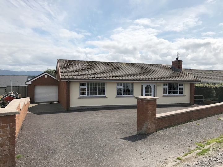 Hut site in BunnafediaHut site · 1084 yd
 Enclosure in CloonakeemogeEnclosure · 1104 yd
 CastleCastle, ringwork · 1703 yd
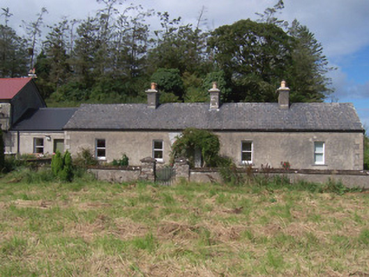 The Swallow Loftchurch/chapel · 1733 yd
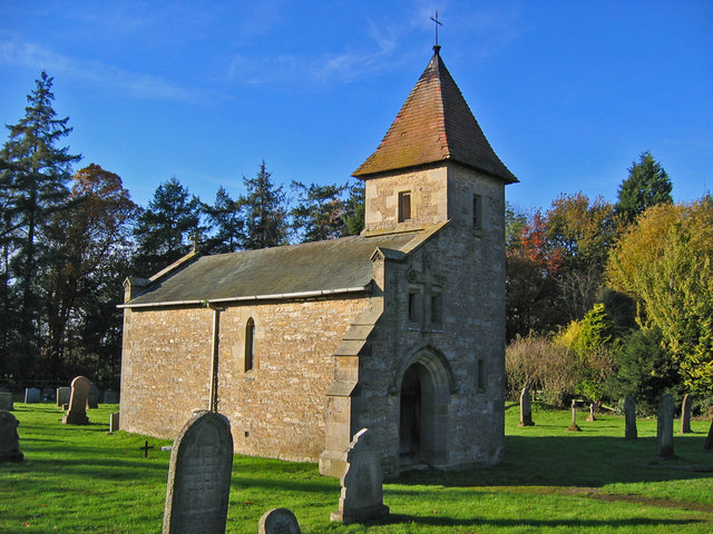 R. C. Chapel in ruinsChurch · 1.0 mi
 Lahanacappul IslandIslet · 1.1 mi
 Bawn in Longford DemesneBawn · 1.3 mi
 Ballinlig PointHeadland · 1.3 mi
 Portavaud PointHeadland · 1.4 mi
 European ashEuropean ash · 1.5 mi
 Pigeonpark WoodForest · 1.5 mi