
What is recorded here
Situated close to the base of a gentle SW-facing slope in undulating pasture. Depicted on the 1837 edition of the OS 6-inch map as a small circular enclosure. A NNW-SSE field boundary is depicted as forming the E boundary of the site on the 1913 edition. Both enclosure and the field boundary have been levelled. A low, D-shaped rise (dims. c.16m N-S; c.14m E-W) marks the site of the enclosure.
Compiled by: Patrick F. O'Donovan
Date of upload: 19 January 2011
The monument record does not grant public access. Check the route and ask the landowner before entering private land.
- What survives
- Recorded monument
Places near here
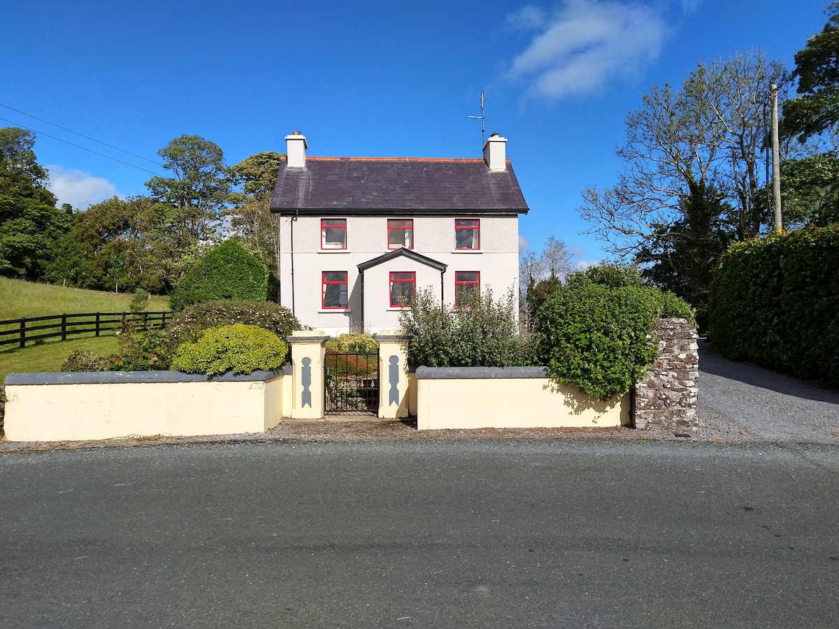 Enclosure in LisnarawerEnclosure · 293 yd
 Enclosure in Carrowkeel (tireragh By.)Enclosure · 618 yd
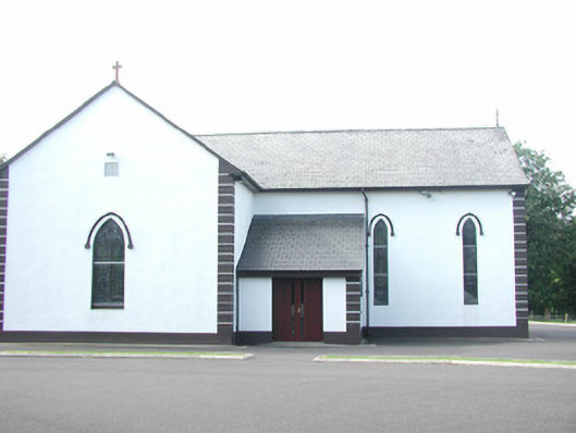 Catholic Church of Saint Peter and Saint Paulchurch/chapel · 1006 yd
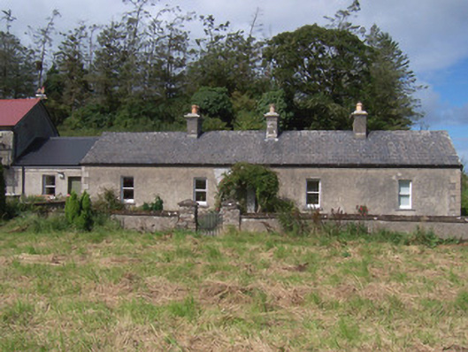 The Swallow Loftchurch/chapel · 1123 yd
 Giant's GraveArchaeological place · 1316 yd
 European ashEuropean ash · 1720 yd
 Bawn in Longford DemesneBawn · 1.0 mi
 Pigeonpark WoodForest · 1.2 mi
 Bawn in Tanrego WestBawn · 1.4 mi
 Lahanacappul IslandIslet · 1.5 mi
 Ballinlig PointHeadland · 1.8 mi
 Portavaud PointHeadland · 1.9 mi
Other information
Photo: Credit not shown in the picture search · Rights wording not checked; contact us if this picture should be removed