What is recorded here
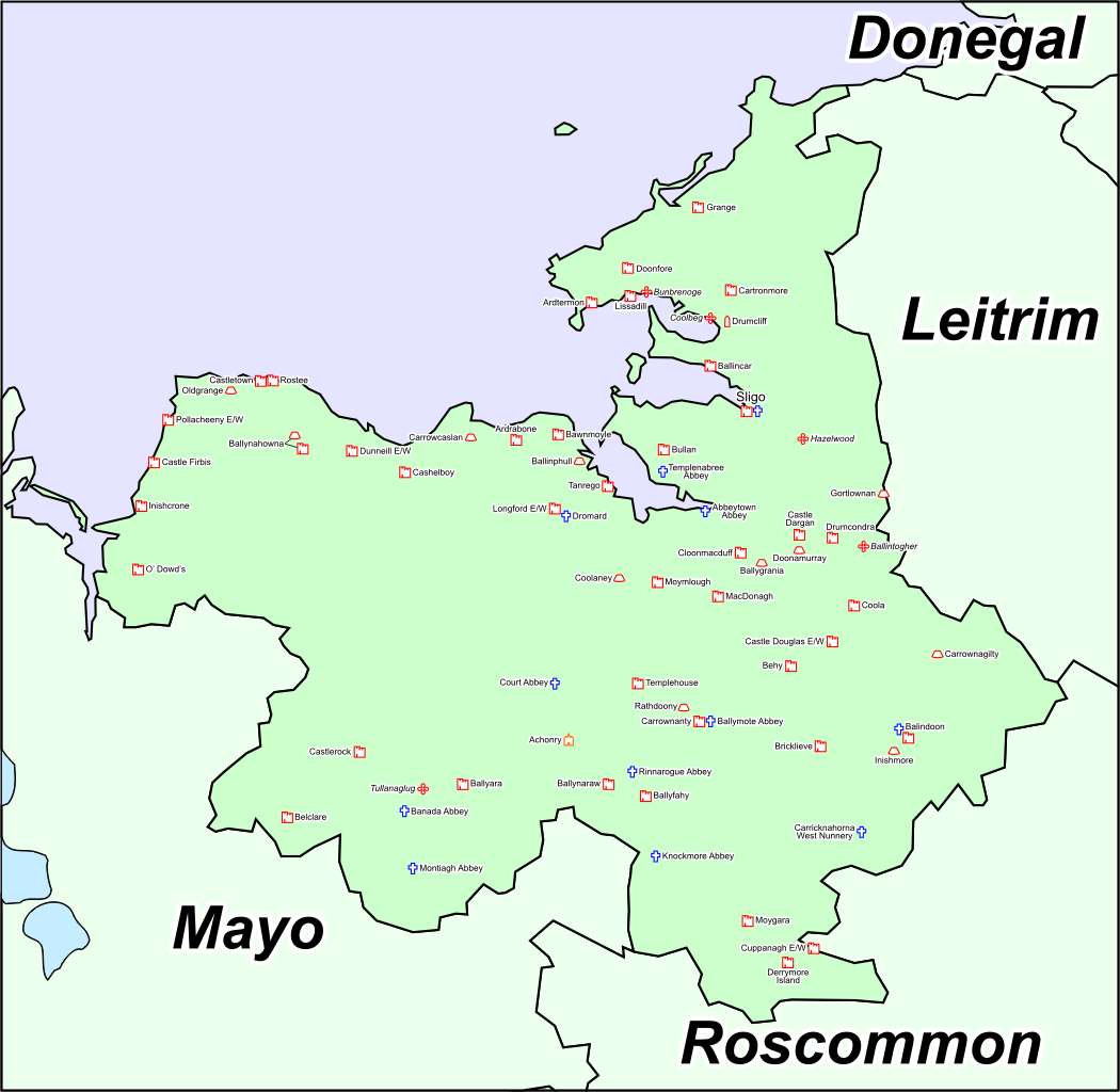
Ordnance Survey maps never marked the castle, though Downe recorded it in Ballinphull. It may have been a tower house, a boundary marker or a mistake born of distance. That absence makes the place harder to dismiss, because forgetting is common while fabrication is rare.
A 'Castle' is marked in this area on the Downe Survey map. Not marked on any ed. of the OS 6-inch map. The exact location is unknown.
Compiled by: Geraldine Stout
Date of upload:18 July 2013
The monument record does not grant public access. Check the route and ask the landowner before entering private land.
- What survives
- Recorded monument
Places near here
 CastleCastle, ringwork · 240 yd
 Font in Ballinlig (tireragh By.)Font · 492 yd
 Enclosure in Ballinlig (tireragh By.)Enclosure · 640 yd
 Lahanacappul IslandIslet · 774 yd
 Ballinlig PointHeadland · 1094 yd
 Portavaud PointHeadland · 1183 yd
 Giant's GraveArchaeological place · 1408 yd
 Derk HouseOfficially recorded historic building · 1.3 mi
 Carrowgarry Househouse · 1.4 mi
 Bawn in Tanrego WestBawn · 1.5 mi
 CulleenamoreBeach / strand · 1.7 mi
 Strandhill BeachBeach / strand · 2.3 mi