What is recorded here
Fairy fort / earthen ringfort in Altanelvick is a fairy fort or earthen ringfort in Altanelvick, County Sligo, Ireland. It occupies a rise with a steep western slope and contains a circular platform thirty-four metres across. A substantial earth and stone bank surrounds the platform, while a fosse and outer bank remain visible around much of the circuit. A break in the eastern bank probably marks the original entrance.
Situated on a rise, with a steep slope on its W side, in otherwise undulating pasture. Raised circular platform (diam. 34.3m) enclosed by a very substantial bank of earth and stone (Wth. 7.6m - 9.6m; int. H 0.9m - 1.6m) atop a mound of earth and stone (H 1.3m - 2.7m). A field boundary wall has been constructed on top of the bank from W-N-NE. At the foot of the mound is a fosse (Wth. 2m - 2.5m) with an outer bank (Wth. 6.2m; H 1.3m). Fosse and outer bank are well preserved from NW-N-E but elsewhere only faint remains are visible. From SW-W-WNW the outer bank has been incorporated into a N-S field boundary wall. Break in bank at E (Wth. 3m) probably represents original entrance. Outside is an area of disturbance, incorporating field clearance stones, which extends towards a corresponding break in the outer bank. Projecting out from the bank at N is a raised U-shaped area (dims. 34m N-S; 25.5m E-W) defined by a scarp (H 0.6m - 1.4m). Its E and W sides are relatively straight and its N side curved. At the E side the scarp is kerbed with stone. Within the E quadrant is a hollow (dims. 8m E-W; 10.2m N-S) which may be a quarry hole.
Compiled by: Patrick F. O'Donovan
Date of upload: 19 January 2011
The monument record does not grant public access. Check the route and ask the landowner before entering private land.
- What survives
- Recorded monument
Places near here
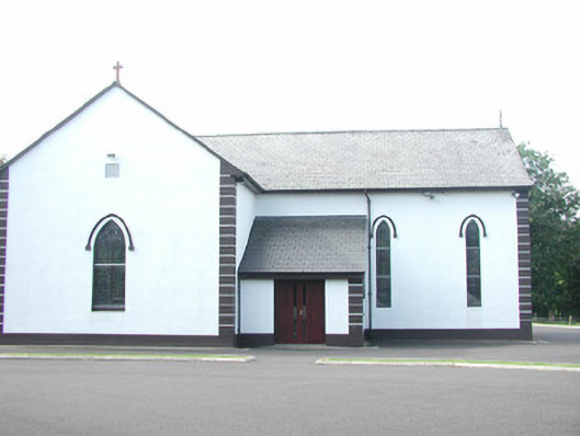 Catholic Church of Saint Peter and Saint Paulchurch/chapel · 266 yd
 IndicatedEnclosure · 330 yd
 Enclosure in AltanelvickEnclosure · 407 yd
 Religious houseReligious house, unclassified · 475 yd
 European ashEuropean ash · 630 yd
 Bawn in Longford DemesneBawn · 1014 yd
 Pigeonpark WoodForest · 1152 yd
 Giant's GraveArchaeological place · 1.2 mi
 Bawn in Tanrego WestBawn · 1.9 mi
 Lahanacappul IslandIslet · 2.1 mi
 CloonaghMountain / peak · 2.2 mi
 Ballinlig PointHeadland · 2.4 mi