
What is recorded here
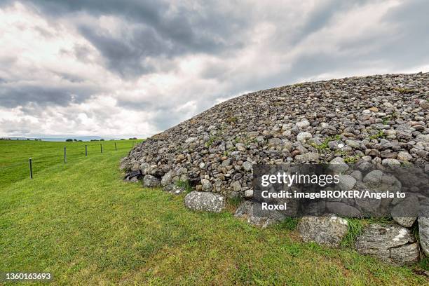
Situated on a low rise in undulating, stoney pasture. Depicted on the 1837 edition of the OS 6-inch map as a roughly circular enclosure in isolation. It comprises an approximately oval-shaped area (26.3m E-W; 21.5m N-S) enclosed by a roughly built drystone wall, which is similar in construction to the other field walls in the locality, and is incorporated into the field boundary system (SL019-152002-). Narrow break (Wth 1m) in wall at NE.
Compiled by: Patrick F. O'Donovan
Date of upload: 19 January 2011
The monument record does not grant public access. Check the route and ask the landowner before entering private land.
- What survives
- Recorded monument
Places near here
 Religious houseReligious house, unclassified · 389 yd
 Enclosure in AltanelvickEnclosure · 390 yd
 Church (in Ruins)Church · 403 yd
 Altar in DromardAltar · 467 yd
 European ashEuropean ash · 467 yd
 Pigeonpark WoodForest · 1163 yd
 Bawn in Longford DemesneBawn · 1165 yd
 Giant's GraveArchaeological place · 1.4 mi
 Bawn in Tanrego WestBawn · 2.0 mi
 CloonaghMountain / peak · 2.1 mi
 Lahanacappul IslandIslet · 2.3 mi
 DoomoreMountain / peak · 2.5 mi
Other information
Photo: Credit not shown in the picture search · Rights wording not checked; contact us if this picture should be removed