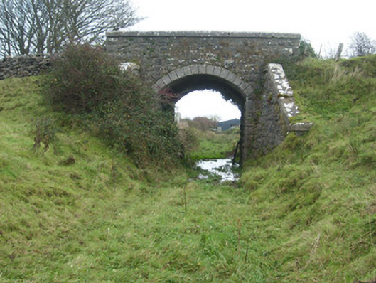
What is recorded here
Single-arch former railway bridge, built c. 1905, carrying road over former Donegal Town to Ballyshannon narrow gauge railway line. Railway lines now out of use with tracks removed (c. 1960). Squared and coursed mildly rock-faced rubble stone construction to spandrels and abutments. Rock-faced quoins to corners of…
Read the whole record
From the Buildings of Ireland (National Inventory of Architectural Heritage) record 40910740
Places near here
Photo credits
- Maker not stated on source page, www.pinterest.com
- Maker not stated on source page, en.wikipedia.org
- National Inventory of Architectural Heritage
- Maker not stated on source page, uk.pinterest.com
- JohnArmagh, Wikimedia Commons · CC BY-SA 3.0
- Maker not stated on source page, www.istockphoto.com
- Maker not stated on source page, www.stockvault.net
- Maker not stated on source page, www.flickr.com
- louise price, Geograph · CC BY-SA 2.0
- Maker not stated on source page, kids.britannica.com
- Kenneth Allen, Geograph · CC BY-SA 2.0
 Enclosure in BallymacawardEnclosure · 499 yd
Explorer Tom This Enclosure in Ballymacaward is so densely overgrown it might as well be invisible. There’s no clear bank to find…
 Standing stone in SheegysStanding stone · 933 yd
Explorer Tom Standing stone in Sheegys is a small, upright slab perched on a mound that slopes down toward Ballyshannon Bay. It’s…
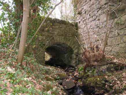 bridge1098 yd
Explorer Tom Bridge in Abbey Island was built around 1855 beside the remains of Assaroe Abbey. Its southeastern parapet meets the…
 Abbey AsseroeRuins · 1102 yd
Explorer Tom Abbey Asseroe sits in County Donegal with absolutely no description attached. I am genuinely baffled by that spelling…
 Assaroe AbbeyReligious house, Cistercian monks · 1111 yd
Explorer Tom Assaroe Abbey was founded in 1178 as a Cistercian daughter house of Boyle. The heritage record says the identifiable…
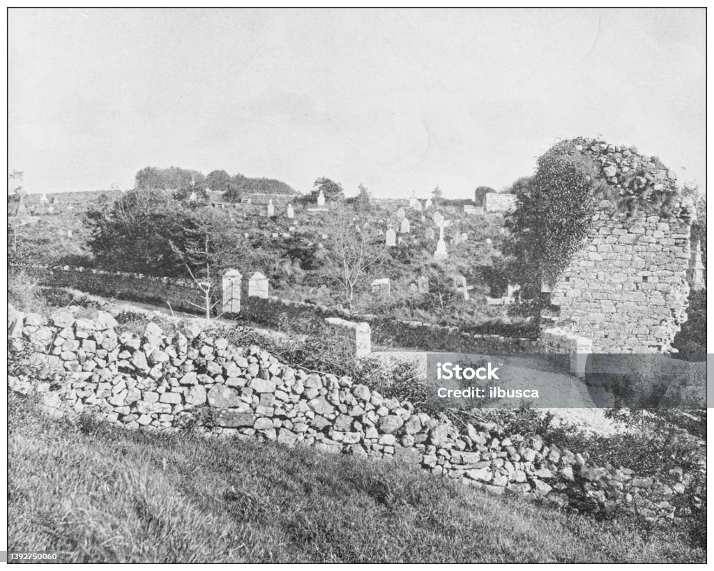 Assaroe Abbey Burial GroundGraveyard · 1145 yd
Explorer Tom Assaroe Abbey Burial Ground on Abbey Island holds the ivy-choked ruins of a Cistercian church founded in 1178. Niall Óg…
 Mapped cemeteryCemetery · 1147 yd
Explorer Tom “Mapped cemetery” in County Donegal is currently being debated by the rabbits over whose burrow it actually belongs to.…
 Cave in Abbey IslandCave · 1170 yd
Explorer Tom Cave in Abbey Island was nearly sold to a farmer for a horse and a sack of oats, which would have been a terrible deal.…
 CatsbyBuilding misc, mass rock · 1176 yd
Explorer Tom Catsby hides a tiny stone altar that’s only half a metre wide! From 1695 to 1750, priests stood in that narrow cave…
 Inish SamerIslet · 1.1 mi
Explorer Tom Inish Samer is sitting at the River Erne’s mouth, guarding two shards of black pottery. A whole ancient community…
 McGinley's BarPub · 1.1 mi
Explorer Tom McGinley's Bar in County Donegal was nearly sold for a horse, which is either amazing or terrifying depending on your…
 Shannon's CornerRestaurant · 1.1 mi
Explorer Tom Shannon's Corner restaurant in Donegal would bring a very unremarkable cake to a party because it’s terrified of being…
More historic places in County Donegal · All of County Donegal

What do you know about this place?Tap to add a comment or ask a question