
What is recorded here
From the National Monuments Service (Archaeological Survey of Ireland) record DG107-042
Places near here
Photo credits
- Maker not stated on source page, www.pinterest.com
- National Inventory of Architectural Heritage
- Jonathan Wilkins, Geograph · CC BY-SA 2.0
- Maker not stated on source page, ru.pinterest.com
- Maker not stated on source page, uk.pinterest.com
- JohnArmagh, Wikimedia Commons · CC BY-SA 3.0
- Maker not stated on source page, www.flickr.com
- Maker not stated on source page, www.stockvault.net
- Maker not stated on source page, kids.britannica.com
 Enclosure in BallymacawardEnclosure · 870 yd
Explorer Tom This Enclosure in Ballymacaward is so densely overgrown it might as well be invisible. There’s no clear bank to find…
 bridge934 yd
Explorer Tom Bridge in Tonregee has one arch edged in raised render. The narrow gauge trains that passed below this road bridge are…
 Wardtown StrandBeach / strand · 1250 yd
Explorer Tom Wardtown Strand is where Donegal's southern edge swaps the usual postcard beach for a broad, changing meeting of river…
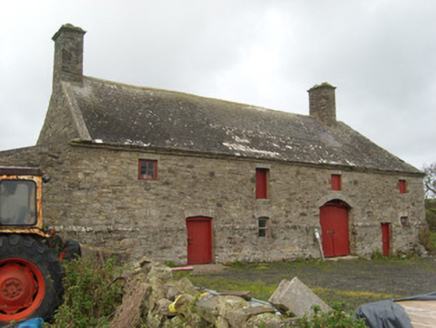 Wardstown HouseOutbuilding · 1255 yd
Explorer Tom Wardstown House in Ballymacaward has a ghost who is too lazy to actually haunt it, so he just stands there looking…
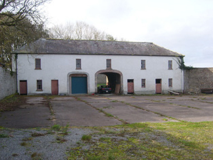 Portnason HouseOutbuilding, stables · 1367 yd
Explorer Tom Portnason House outbuildings are where the local mate claims he invented the wheel, but really he just parked his…
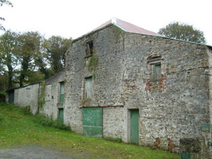 mill (water)1369 yd
Explorer Tom Mill in Abbeylands is a water mill with rough rubble stone construction. I bet the seagulls say, 'Finally, some food…
 Standing stone in Townparks (ballyshannon Ed)Standing stone · 1376 yd
Explorer Tom Standing stone in Townparks has an imaginary fan club that meets every Tuesday to discuss its width-to-height ratio…
 Abbey AsseroeRuins · 1460 yd
Explorer Tom Abbey Asseroe sits in County Donegal with absolutely no description attached. I am genuinely baffled by that spelling…
 Assaroe AbbeyReligious house, Cistercian monks · 1465 yd
Explorer Tom Assaroe Abbey was founded in 1178 as a Cistercian daughter house of Boyle. The heritage record says the identifiable…
 Cave in Abbey IslandCave · 1501 yd
Explorer Tom Cave in Abbey Island was nearly sold to a farmer for a horse and a sack of oats, which would have been a terrible deal.…
 Mapped cemeteryCemetery · 1546 yd
Explorer Tom “Mapped cemetery” in County Donegal is currently being debated by the rabbits over whose burrow it actually belongs to.…
 Inish SamerIslet · 1.0 mi
Explorer Tom Inish Samer is sitting at the River Erne’s mouth, guarding two shards of black pottery. A whole ancient community…
More archaeology and monuments in County Donegal · All of County Donegal

What do you know about this place?Tap to add a comment or ask a question