What is recorded here
Enclosure in Ballymacaward is a vanished fort on good Donegal soil, mapped once and now lost beneath dense growth. A small river still skirts its southern edge, marking the boundary of a place humans shaped before the green took it back. The land remembers the enclosure even when the eye no longer can.
The 'Fort' marked on the 1st edition of the OS 6-inch map is now densely overgrown. At present it is impossible to say if any banks survive. It is situated on good soil sloping gently NW and NE. It is skirted on the S and SE sides by a small river.
The above description was derived from the 'Archaeological Survey of County Donegal. A description of the field antiquities of the County from the Mesolithic Period to the 17th century.' Compiled by: Brian Lacey with Eamon Cody, Claire Cotter, Judy Cuppage, Noel Dunne, Vincent Hurley, Celie O'Rahilly, Paul Walsh and Seán Ó Nualláin (Lifford: Donegal County Council, 1983). In certain instances the entries have been revised and updated.
Date of upload: 22 September 2008
The monument record does not grant public access. Check the route and ask the landowner before entering private land.
- What survives
- Recorded monument
Places near here
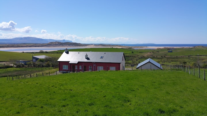 Enclosure in BallymacawardEnclosure · 104 yd
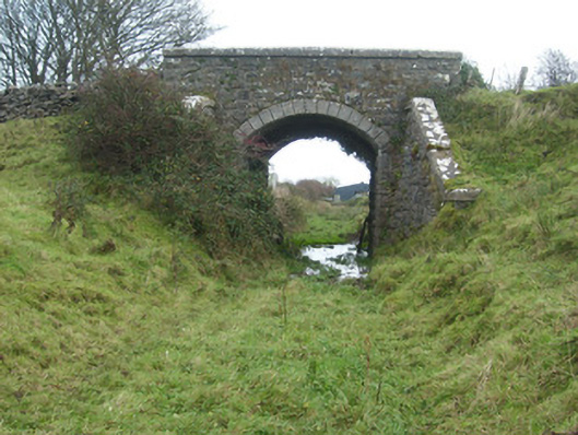 bridgebridge · 499 yd
 Ballymacaward Eastern Fairy FortFairy fort / earthen ringfort · 1045 yd
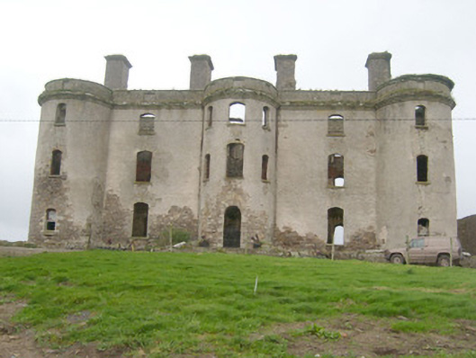 Wardstown Housecountry house · 1256 yd
 Wardtown StrandBeach / strand · 1737 yd
 Kilbarron Old Church GraveyardGraveyard · 1.3 mi
 St Anne's Church GraveyardGraveyard · 1.4 mi
 Tullan StrandBeach / strand · 1.5 mi
 CastleCastle, unclassified · 1.6 mi
 Dark Cliffs at KilbarronPublicly named cliff or headland · 1.7 mi
 Kilbarron Castle in ruinsCastle, tower house · 1.8 mi
 Cliffs by BundoranPublicly named cliff or headland · 2.5 mi