
What is recorded here
Kilbarron Church (DG103-055): The ruins of a simple 15th or 16th century rectangular church, 10.3m by 4.9m internally, are built of squared boulder rubble with ashlar quoins. The E gable is 2.4m high and preserves no evidence of a window. The N and S walls stand to a height of c. 3m. About midway along the latter is a pointed doorway; the jambs are rebuilt. The splayed ingoings are lintelled and bond holes remain for a supporting wooden beam; the E ingoing preserves a small socket for a latch. There is a similar doorway with draw-bar socket at the E end of the N wall. The W gable survives to full height; some coping is in situ on the N. The upper section of the gable is lit by a narrow rectangular window with wide splay. The five corresponding joist holes in the N and S walls must have supported a gallery, access to which was probably from the NW corner along the gable. A collapsed altar lies at the foot of the E gable. Spalled masonry on the interior face of the W gable, the adjoining sections of N and S walls, and the SE corner of the church, was caused by fire in these areas. Abutting the N wall of the church are the remains of a structure, c. 8.8m by 5.9m internally, for the most part represented only by lines of stone, now much ruined and overgrown; possibly a priest's residence. The church is surrounded by a featureless disused graveyard (DG103-055001-) which is believed to be the location of an early ecclesiastical site. (Gwynn and Hadcock 1970, 388)
The above description was derived from the 'Archaeological Survey of County Donegal. A description of the field antiquities of the County from the Mesolithic Period to the 17th century.' Compiled by: Brian Lacey with Eamon Cody, Claire Cotter, Judy Cuppage, Noel Dunne, Vincent Hurley, Celie O'Rahilly, Paul Walsh and Seán Ó Nualláin (Lifford: Donegal County Council, 1983).
Kilbarron Church (DG103-055): The ruins of a simple 15th or 16th century rectangular church, 10.3m by 4.9m internally, are built of squared boulder rubble with ashlar quoins. The E gable is 2.4m high and preserves no evidence of a window. The N and S walls stand to a height of c. 3m. About midway along the latter is a pointed doorway; the jambs are rebuilt. The splayed ingoings are lintelled and bond holes remain…
From the National Monuments Service (Archaeological Survey of Ireland) record DG103-055001
The monument record does not grant public access. Check the route and ask the landowner before entering private land.
- What survives
- Recorded monument
Places near here
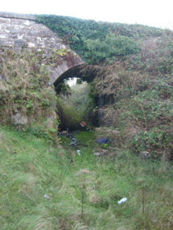 bridge280 yd
 Dark Cliffs at KilbarronPublicly named cliff or headland · 1165 yd
 Kilbarron Castle in ruinsCastle, tower house · 1282 yd
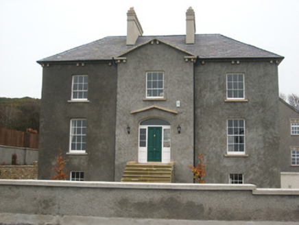 Coolmore HouseOfficially recorded historic building · 1459 yd
 Sheebarran RingfortFairy fort / earthen ringfort · 1.4 mi
 RossnowlaghOfficial bathing water · 1.5 mi
 Wardtown StrandBeach / strand · 1.9 mi
 Tullan StrandBeach / strand · 2.3 mi
 Dungravenen Promontory FortPromontory fort, coastal · 2.4 mi
 St Anne's Church GraveyardGraveyard · 2.6 mi
 Rory GallagherMemorial · 2.8 mi
 Cliffs by BundoranPublicly named cliff or headland · 3.2 mi
Pictures: National Inventory of Architectural Heritage; louise price, Wikimedia Commons · CC BY-SA 2.0; Jonathan Wilkins, Wikimedia Commons · CC BY-SA 2.0; Dean Molyneaux, Geograph · CC BY-SA 2.0; Jonathan Wilkins, Geograph · CC BY-SA 2.0; Kenneth Allen, Wikimedia Commons · CC BY-SA 2.0; Kenneth Allen, Geograph · CC BY-SA 2.0
More memorials and graveyards in County Donegal · All of County Donegal
What do you know about this place?