
What is recorded here
Former mass rock, in use from c. 1695 to c. 1750, comprising a flat projecting area of rock c. 2 metres x c. 0.5 metres traditional known as an 'altar'. Set in natural cave in a depression surrounded on three sides by natural rock walls (former quarry?) on the north bank of the Abbey River. Bullaun stone (DG107-044005-) with two carved basins set within cave. Located to the south-east of the remains of Assaroe Cistercian Abbey (DG107-044001-), and to the north-west of Ballyshannon town centre.
This former altar/mass rock represents an interesting historical feature in the landscape to the north-west of Ballyshannon. Mass was celebrated at sites such as this during Penal times (c. 1695 to c 1750) as Catholics were forced to hold secret services in isolated and secluded locations as ‘non conformists’ were not permitted to practice their religions (it was an offence punishable by death for a priest to practice Catholic mass). Although located relatively close to the town of Ballyshannon, ‘Catsby Cave’ is well-hidden and protected on three sides by sheer rock walls, and would have been a perfect site for secret services. It is likely that the priest stood in the small natural cave with his congregation arranged around the hollow outside. This site was probably associated with the now ruinous former Assaroe Cistercian Abbey (DG107-044001-), the site of which is located immediately adjacent to the north/north-west. The natural cave also has a bullaun stone (DG107-044005-) with two carved basins, which suggests that this site was used for religious service since at least early medieval times, and possibly a lot longer considerably longer. Located in a highly attractive riverside location and surrounded by nature trees, this site is an interesting addition to the social history of the local area.
From the Buildings of Ireland (National Inventory of Architectural Heritage) record 40852004
This does not grant access. Most recorded buildings are privately owned; view them only from public ground unless the owner allows entry.
Places near here
 Assaroe AbbeyReligious house, Cistercian monks · 68 yd
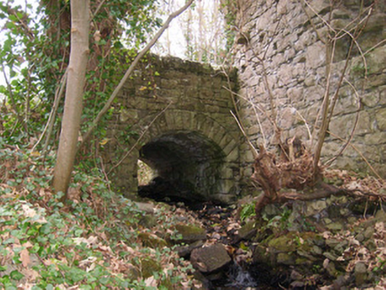 bridge79 yd
 Dungravenen Promontory FortPromontory fort, coastal · 704 yd
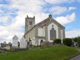 St Anne's Church GraveyardGraveyard · 818 yd
 Rory GallagherMemorial · 1101 yd
 Standing stone in Townparks (ballyshannon Ed)Standing stone · 1177 yd
 Wardtown StrandBeach / strand · 1.6 mi
 Tullan StrandBeach / strand · 1.9 mi
 Dark Cliffs at KilbarronPublicly named cliff or headland · 2.6 mi
 Kilbarron Castle in ruinsCastle, tower house · 2.7 mi
 RossnowlaghOfficial bathing water · 3.2 mi
 Hawthorn3.2 mi
Pictures: JohnArmagh, Wikimedia Commons · CC BY-SA 3.0; National Inventory of Architectural Heritage; Kenneth Allen, Wikimedia Commons · CC BY-SA 2.0; Kenneth Allen, Geograph · CC BY-SA 2.0; Jonathan Wilkins, Geograph · CC BY-SA 2.0; louise price, Wikimedia Commons · CC BY-SA 2.0; Dean Molyneaux, Geograph · CC BY-SA 2.0; Didier Descouens, Wikimedia Commons · CC BY-SA 4.0
More historic places in County Donegal · All of County Donegal
What do you know about this place?