
What is recorded here
That is a clever woman. She sees the shape of the world and bends it back into life. The chamber is not a victim. The chamber is her instrument. Anais is the danger.
A stone, c. 1.3m high × 1.5m wide × c. 0.65m wide, said locally to mark a fording place of the river Erne. It is set on rock outcrop and is possibly a natural feature rather than a 'standing stone'. Markings like 'cats paws' on the E side, are also possibly natural.
The above description was derived from the 'Archaeological Survey of County Donegal. A description of the field antiquities of the County from the Mesolithic Period to the 17th century.' Compiled by: Brian Lacey with Eamon Cody, Claire Cotter, Judy Cuppage, Noel Dunne, Vincent Hurley, Celie O'Rahilly, Paul Walsh and Seán Ó Nualláin (Lifford: Donegal County Council, 1983). In certain instances the entries have been revised and updated.
Date of upload: 22 September 2008
The monument record does not grant public access. Check the route and ask the landowner before entering private land.
- What survives
- Recorded monument
Places near here
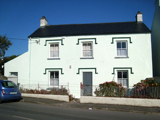 schoolschool · 147 yd
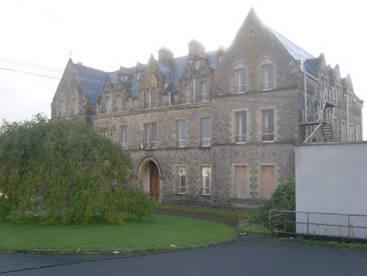 Saint Catherine's Conventconvent/nunnery · 182 yd
 CastleCastle, unclassified · 327 yd
 Rory GallagherMemorial · 351 yd
 TobernasassonaghHoly well · 463 yd
 St Anne's Church GraveyardGraveyard · 538 yd
 Mullanashee fortBastioned fort · 616 yd
 Castle in ruinsCastle, unclassified · 1.5 mi
 Wardtown StrandBeach / strand · 2.1 mi
 Tullan StrandBeach / strand · 2.4 mi
 HawthornHawthorn · 3.0 mi
 Dark Cliffs at KilbarronPublicly named cliff or headland · 3.2 mi
Other information
Photo: Kenneth Allen · CC BY-SA 2.0