
What is recorded here
This is a four-arched bridge which crosses a stream that becomes the Camac river outside Clondalkin. It has been disused since 1820 (Healy 1974, 25) and was on the line of the old coach road, which ran from Saggart to Brittas. It is built of undressed mortared stone with roughly trimmed keystones. There are triangular cutwaters on the upstream end of the piers. The parapets are missing. The stream runs through the W arch. It has been dated to the 17th century (O'Keefe & Simington 1991, 226-228).
Compiled by Geraldine Stout
The monument record does not grant public access. Check the route and ask the landowner before entering private land.
- What survives
- Recorded monument
Places near here
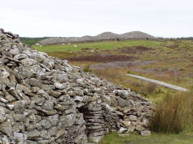 CairnCairn, unclassified · 121 yd
 Linear earthwork in Crooksling,sladeLinear earthwork · 500 yd
 Verschoyle's HillMountain / peak · 669 yd
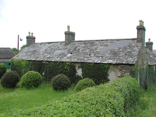 farmyard complexfarmyard complex · 1143 yd
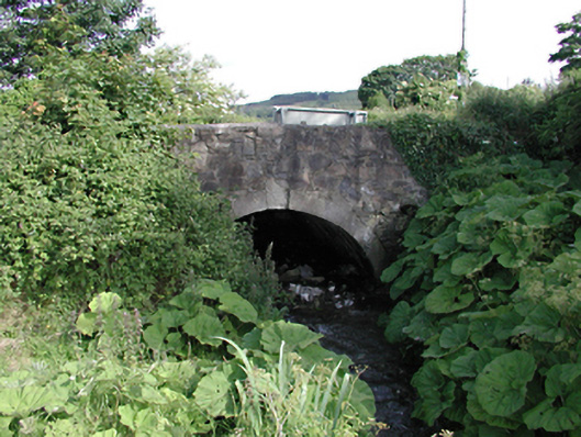 bridgebridge · 1410 yd
 Rathcoole WoodlandWood · 1.2 mi
 Meadow WildlifeVisitor information · 1.4 mi
 CastleCastle, tower house · 1.5 mi
 KnackannaveaMountain / peak · 1.6 mi
 Inniscara GalleryGallery · 1.7 mi
 Early Stadium DesignHeritage attraction · 2.8 mi
 Colmanstown Castle (in ruins)Castle, tower house · 2.9 mi
Other information
Photo: Credit not shown in the picture search · Rights wording not checked; contact us if this picture should be removed