
Places near here
Photo credits
- National Inventory of Architectural Heritage
- Ian Paterson, Wikimedia Commons · CC BY-SA 2.0
- Colin Park, Geograph · CC BY-SA 2.0
- Guinevere's Garden; photographer not stated, Guinevere's Garden
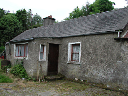 farmyard complex668 yd
Explorer Tom The farmyard complex in Crooksling is hiding its age behind roughcast walls. Some outbuildings might actually predate…
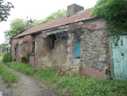 farm house1.0 mi
Explorer Tom Farm house in Boherboy is stuck in a massive feud with its neighbor over who gets to own the most dramatic sunset view…
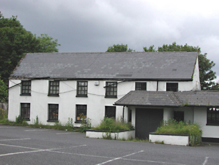 EmbankmentHouse · 1.1 mi
Explorer Tom Embankment in Corbally was once a handsome six-bay house, now part of a public house. It’s got smooth rendered walls…
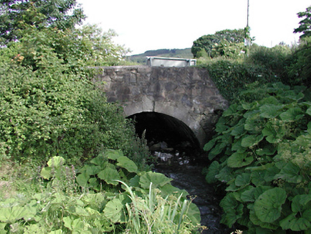 bridge1.1 mi
Explorer Tom This bridge in Saggart has a bitter feud with the rain because every time it tries to dry off, the clouds just decide…
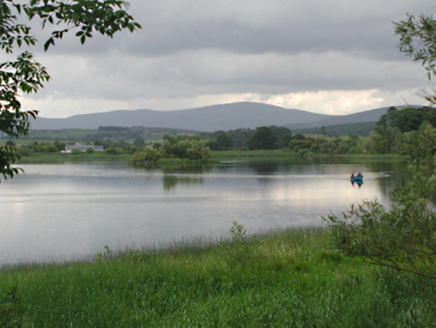 Glenaraneen Mill PondsDam/reservoir/basin · 1.2 mi
Explorer Tom Glenaraneen Mill Ponds nearly got famous when a fisherman caught a trout with a hat on its head, but nobody believed…
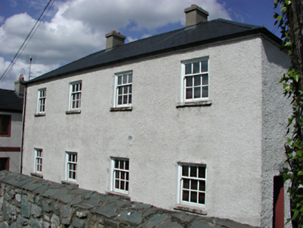 Saggart National SchoolSchool · 1.3 mi
Explorer Tom Saggart National School in Moneyatta Commons lost three Vikings who were looking for it; they got distracted by the…
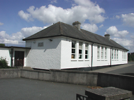 Saint Mary's National SchoolSchool · 1.3 mi
Explorer Tom Saint Mary's National School in Saggart is having a fairy dispute over parking rights because its whitewashed walls are…
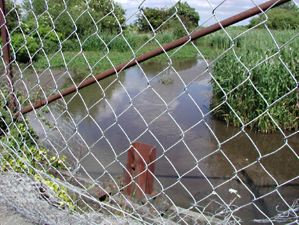 dam/reservoir/basin1.3 mi
Explorer Tom Dam in Saggart is a former mill pond that now acts as a picturesque body of water for local wildlife. It’s a strong…
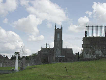 Catholic Church of the Nativity of the Blessed Virgin MaryChurch/chapel · 1.4 mi
Explorer Tom Catholic Church of the Nativity of the Blessed Virgin Mary in Saggart is throwing its Gothic weight around. Built in…
 Rathcoole ParkPark · 1.7 mi
Explorer Tom Rathcoole Park gives the village a generous patch of hills and water just off Dublin's busy roads: enter and the first…
 Cupidstown HillMountain / peak · 3.3 mi
Explorer Tom Cupidstown Hill is claimed by a local who says he invented it while walking his dog, which is bold but I respect the…
 June Blake's GardenGarden · 3.8 mi
Explorer Tom June Blake's Garden at Tinode began with a sheep paddock and grew into three acres that seem to have quietly outwitted…
More archaeology and monuments in County Dublin · All of County Dublin

What do you know about this place?Tap to add a comment or ask a question