What is recorded here
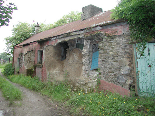
Detached multiple-bay single-storey former house, c.1800, now derelict. Rubble stone walls with possible mud wall construction also. Variety of timber panelled doors and openings, quite ruinous. Pitched corrugated-iron roof with roughcast rendered central chimney stack. Another smaller chimney stack to the east gable.
This simple vernacular dwelling, though in poor condition, retains many materials of note, particularly its partial mud walls, a construction technique which rarely survives in this area.
From the Buildings of Ireland (National Inventory of Architectural Heritage) record 11214010
This does not grant access. Most recorded buildings are privately owned; view them only from public ground unless the owner allows entry.
Places near here
Photo credits
- National Inventory of Architectural Heritage
- Mike Searle, Geograph · CC BY-SA 2.0
- Sitomon, Wikimedia Commons · CC BY-SA 2.0
- JP, Geograph · CC BY-SA 2.0
- Colin Park, Geograph · CC BY-SA 2.0
- jwd, Geograph · CC BY-SA 2.0
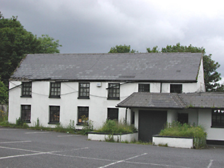 EmbankmentHouse · 303 ydSt. Patricks WellHoly well · 474 yd
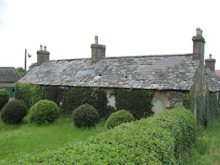 farmyard complex624 ydFulacht fia in Moneyatta CommonsFulacht fia · 1035 ydCastleCastle, tower house · 1359 ydVerschoyle's HillMountain / peak · 1.0 miMeadow WildlifeVisitor information · 1.2 mi
 CastleCastle, tower house · 3.6 mi
 European Yew3.6 mi
 Grand Canal WayWalking route · 4.1 mi
 Cupidstown HillMountain / peak · 4.3 mi
 Griffeen Valley WalkWalking route · 4.8 mi
More historic places in County Dublin · All of County Dublin
What do you know about this place?