What is recorded here
Standing stone in Raheen (newcastle By.) stands 2.3m tall on a breaking slope above the river valley, its south face marked with twenty-eight cupmarks that cluster into a petal-like pattern. Whoever cut those small cups worked granite with patience, perhaps guiding a ritual, a boundary or a memory now lost. The stone still tilts the field’s attention southward, inviting people to wonder what shape those petal marks once described.
Situated to the E of the N81 and the river valley. A granite standing stone (H 2.3m) is situated at a break in slope, in a field of rough pasture on ground that falls away to the W. It has a trapezoidal-shaped ground plan (S 1.3m; N 0.95m; W 0.84m; E 1.3m). The S face has been decorated with c. 28 cupmarks largely concentrated in one area (average diam. 0.06m). Some of these form a petal-like pattern (Briley 1898, 173-4; Ua Broin 1957; Healy 1975, 1-19).
Compiled by: Geraldine Stout and Padraig Clancy
Revised upload ob: 6 July 2018
The monument record does not grant public access. Check the route and ask the landowner before entering private land.
- What survives
- Recorded monument
Places near here
 ToberaghHoly well · 434 yd
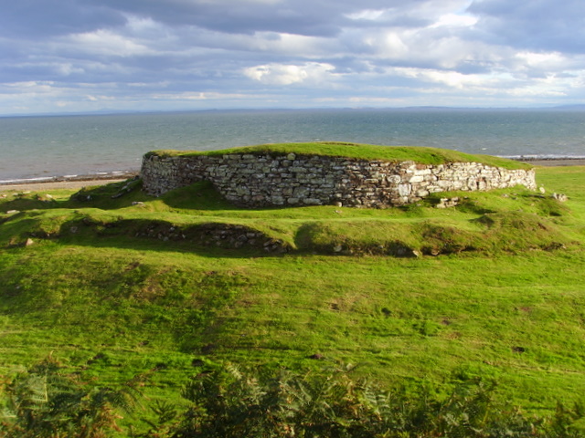 CarnCairn, unclassified · 580 yd
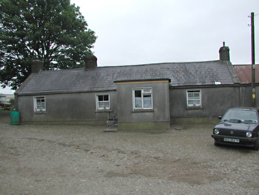 farmyard complexfarmyard complex · 886 yd
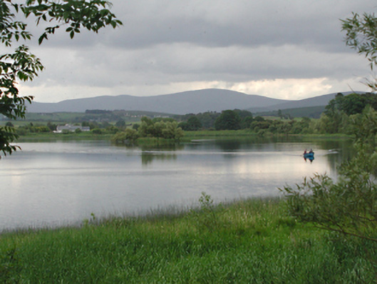 Glenaraneen Mill Pondsdam/reservoir/basin · 965 yd
 Verschoyle's HillMountain / peak · 1259 yd
 KnackannaveaMountain / peak · 1.3 mi
 CastleCastle, tower house · 1.9 mi
 Rathcoole WoodlandWood · 1.9 mi
 Meadow WildlifeVisitor information · 2.3 mi
 Inniscara GalleryGallery · 2.4 mi
 Colmanstown Castle (in ruins)Castle, tower house · 3.3 mi
 Rock WoodForest · 3.3 mi