DDiscover AloneMapAbout

Toberagh

Holy well

The monument record does not grant public access. Check the route and ask the landowner before entering private land.

What do you know about this place?Tap to add a comment or ask a question

What you write will be public.

What is recorded here

Holy well annotated 'Toberagh' on the 1837 ed. OSi 6-inch map and as site of on the Cassini ed. OSi 6-inch map. Also known locally as Tobar na cCluas, this well is situated in the townland of Crooksling in the parish of Saggart, to the E of a river valley and the N81. The site of this well is along the entranceway to…

Read the whole record
Holy well annotated 'Toberagh' on the 1837 ed. OSi 6-inch map and as site of on the Cassini ed. OSi 6-inch map. Also known locally as Tobar na cCluas, this well is situated in the townland of Crooksling in the parish of Saggart, to the E of a river valley and the N81. The site of this well is along the entranceway to an Eastern Health Board Nursing Home. Holy well site described by Ua Broin (1957, 45) as follows; ' 'Toberagh (site of' is on Ordnance maps inside the Sanatorium entrance. Map 6 shows a pond on each side of the by-road there. A pump-house now stands at the site of one, and that of the other is now filled, planted ground. To the west of the latter there was a holy well, and perhaps others, as would seem from the likely derivation of the name toibreacha (wells). Tobrachs, a plural form of the anglicised name, is now in use. Tobar na cCluas, the holy well just mentioned, is described in OSL as " a small crevice in rock through which a little stream of very good water issues. It is never dry and cures the headache and earache by drinking of its waters and saying some prayers, hence Tobar na cCluas, the Ear-Well'. Enquiries as to memory of old holy well practices here were fruitful only to the extent of ascertaining that up to sixty years ago or thereabouts it was a custom with school children to leave pieces of rag or buttons, etc., at the well if they drank from it. The rock from which the stream issued is shown on OSD, on which also a stone which looks like a tau-cross is shown. A block of stone, on which there was an incised cross about 4 ins. by 3 ins., is remembered as being near the well. It was probably the broken-off horizontal part of this cross, and its disappearance, also that of the well, may be attributable to ground disturbance when the site was being cleared for the Sanatorium buildings. By one of those who remember the place as it was many years ago the site of the well was pointed out as quite near the mortuary, where, it is of interest to learn, the patients have resorted as a place of prayer during the last twenty years or so. An improvised kneeling board marks the place, also pious pictures, medals, etc., placed in joints of rough dry masonry sheltered by laurels. Random adoption of the place as one for prayer was unlikely, so it may be taken that selection was influenced by local tradition'. These have been removed and the area planted (Herity 2001, 29). Today there are no surface remains visible (Healy 1975, 1-19). Folklore collected from Brittas School recorded the following tradition about this well; 'The entrance into the Crooksling Sanatorium was formally called, the Tubberacks because there was a blessed well there once called Saint Ann's well' (The Schools’ Collection, Volume 0794, Page 468; https://www.duchas.ie/en/cbes/4428216/4386751/4456867). Firhouse School recorded the following details about this well; 'TOBAR na CLUAS On Tallaght Hill Cure for ear and head-aches' (The Schools’ Collection, Volume 0795, Page 024; https://www.duchas.ie/en/cbes/4428218/4386848/4456564).

From the National Monuments Service (Archaeological Survey of Ireland) record DU024-012001

Places near here

Photo credits
  • Maker not stated on source page, www.pinterest.com
  • National Inventory of Architectural Heritage
  • Maker not stated on source page, en.wikipedia.org
  • Maker not stated on source page, www.freepik.com
  • Ian Paterson, Wikimedia Commons · CC BY-SA 2.0
Cross-inscribed stone in CrookslingCross-inscribed stone · 5 yd

Explorer Tom Cross-inscribed stone in Crooksling got bulldozed for a sanatorium. It used to stand near Toberna gcluas, but now it's…

Standing stone in Raheen (newcastle By.)Standing stone · 434 yd

Explorer Tom Standing stone in Raheen would post on social media saying it’s having a spiritual moment with twenty-eight cupmarks…

Standing stone in CrookslingStanding stone · 919 yd

Explorer Tom Standing stone in Crooksling would bring a very heavy, very serious vibe to any party, probably standing in the corner…
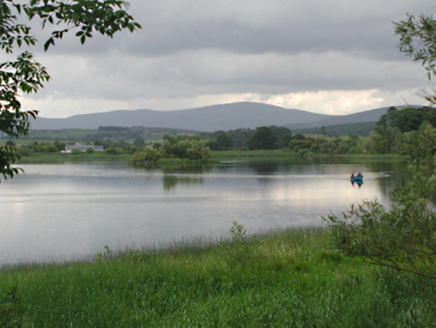
Glenaraneen Mill PondsDam/reservoir/basin · 1250 yd

Explorer Tom Glenaraneen Mill Ponds nearly got famous when a fisherman caught a trout with a hat on its head, but nobody believed…
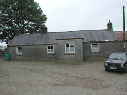
farmyard complex1320 yd

Explorer Tom Farmyard complex in Raheen holds a fake world record for the longest time a single carrot was left on the fence without…
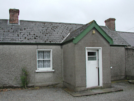
farm house1403 yd

Explorer Tom The Farm house in Raheen was invented by a local who just needed an excuse to build a shed. It’s rebuilt from old…

Standing stoneStanding stone, pair · 1.4 mi

Explorer Tom Standing stone in Boherboy has a fake royal visit story that nobody can prove or disprove, involving two stones named…
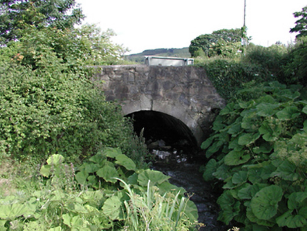
bridge1.4 mi

Explorer Tom This bridge in Saggart has a bitter feud with the rain because every time it tries to dry off, the clouds just decide…
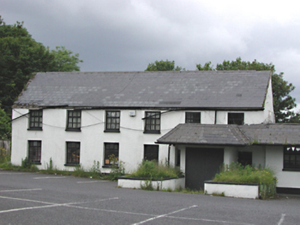
EmbankmentHouse · 1.6 mi

Explorer Tom Embankment in Corbally was once a handsome six-bay house, now part of a public house. It’s got smooth rendered walls…

CastleCastle, unclassified · 1.8 mi

Explorer Tom Castle in Saggart is one of three, but we can’t find it, so it’s doing what it wants when nobody's looking. It might be…

Saggart GraveyardCemetery · 1.9 mi

Explorer Tom Saggart Graveyard in County Dublin is keeping its cool while the rest of us sweat. It’s probably thinking up new jokes…

Rathcoole ParkPark · 1.9 mi

Explorer Tom Rathcoole Park gives the village a generous patch of hills and water just off Dublin's busy roads: enter and the first…

More archaeology and monuments in County Dublin · All of County Dublin

Add to this placeAdd a picture Add a detailed tip Add a story

Explore the map1,095,414 places to discover

Next place · or swipeCross-inscribed stone in Crooksling