What is recorded here
Situated on rocky ground at c. 70m OD; formerly rough grazing land with scattered stunted conifers from a felled plantation. On a moderate E-facing slope c. 100m NNE of a wedge tomb (CO147-014001-). Isolated boulder (2.2m x 1.2m; H 1.2m), partly supported, clear of ground surface. Reported to the Archaeological Survey of Ireland by Seán O'Mahony.
Compiled by: Matt Kelleher
Date of upload/revision: 2 October 2019
Boulder-burial in Ballyrisode is a Bronze Age funerary monument, likely associated with local burial practices involving large stones. Its proximity to a wedge tomb suggests it may be part of a broader ritual landscape.
The monument record does not grant public access. Check the route and ask the landowner before entering private land.
- What survives
- Recorded monument
Places near here
 Wedge tomb in BallyrisodeWedge tomb · 74 yd
 Ballyrisode WoodWood · 383 yd
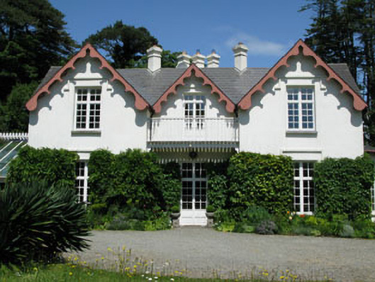 Ballyrisode Househouse · 476 yd
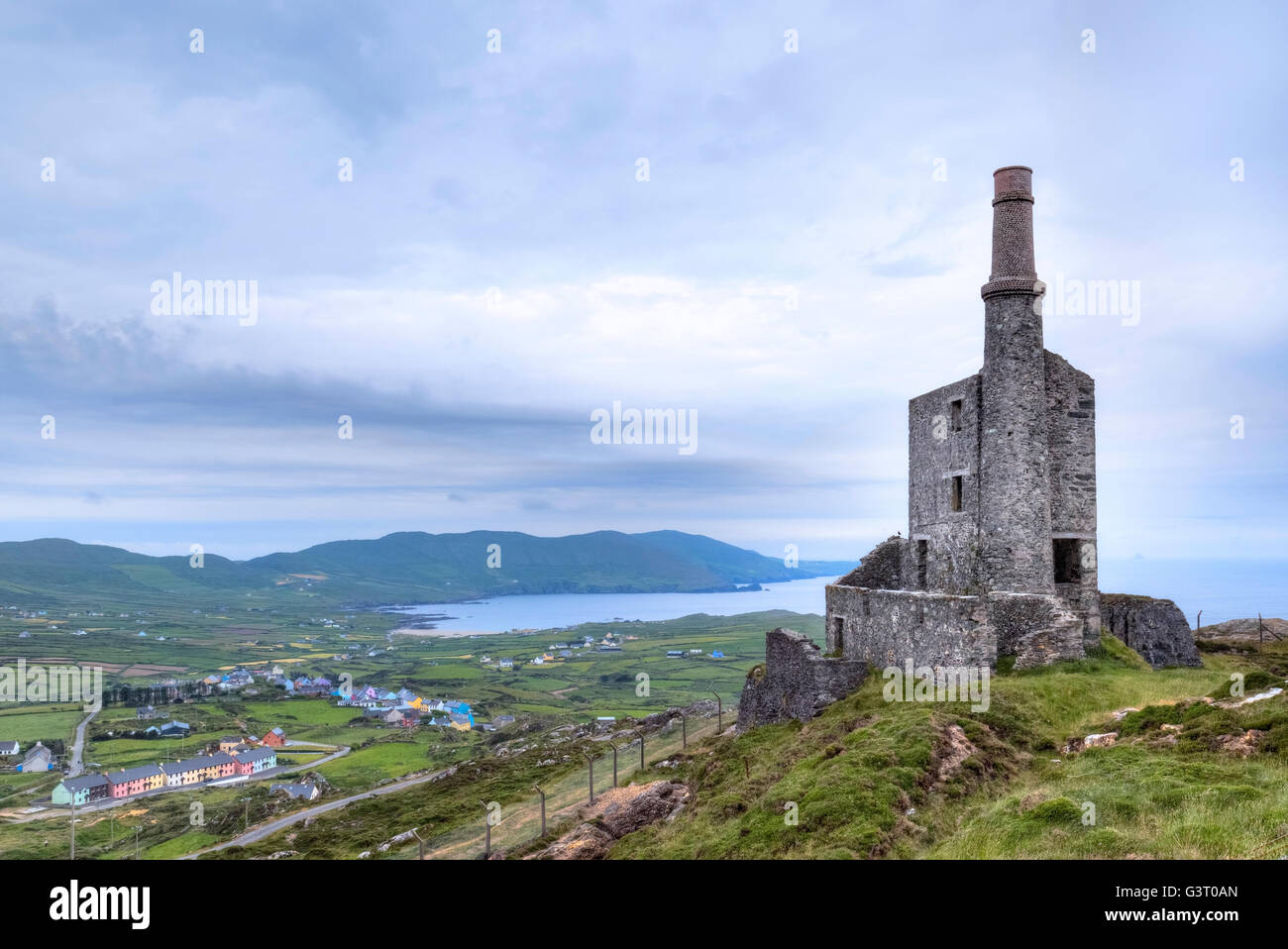 MineMine, copper · 569 yd
 Burial ground in BallyrisodeBurial ground · 992 yd
 KnockaphucaMountain / peak · 1629 yd
 Ballyrisode PointHeadland · 1.0 mi
 AltarViewpoint · 1.3 mi
 Dunmanus Castle (in Ruins)Castle, tower house · 1.9 mi
 Dick's IslandIslet · 2.0 mi
 Dunmanus PointHeadland · 2.2 mi
 Green IslandIslet · 2.4 mi