
What is recorded here
On shoulder (now forested) between two ridges of outcropping rock, on SE side Knockaphuca mountain. Badly damaged; comprised gallery (L c. 5m; Wth 0.8m) aligned ESE-WNW. Possible to distinguish outer walling and number of buttress stones to N and S of gallery. Three displaced roofstones partly cover E half. No clear indication or cairn or mound. (Roberts 1988, Ch. 4, No. 24; O Nualláin 1989, 135).
The above description is derived from the published 'Archaeological Inventory of County Cork. Volume 1: West Cork' (Dublin: Stationery Office, 1992). In certain instances the entries have been revised and updated in the light of recent research.
Date of upload/revision: 14 January 2009
Wedge tomb, dating to the Late Neolithic or Early Bronze Age (c. 2500–1000 BCE). Its alignment and construction reflect typical features of west Cork wedge tombs, part of a regional tradition in the Irish Bronze Age funerary landscape.
The monument record does not grant public access. Check the route and ask the landowner before entering private land.
- What survives
- Recorded monument
Places near here
 Ballyrisode WoodWood · 409 yd
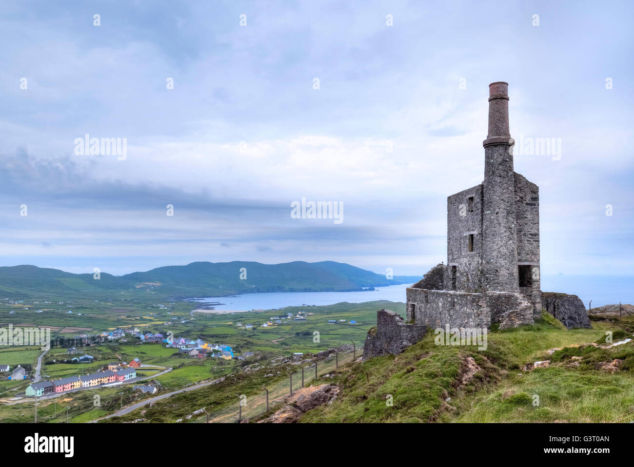 MineMine, copper · 507 yd
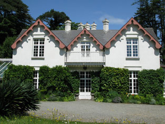 Ballyrisode Househouse · 511 yd
 Burial ground in BallyrisodeBurial ground · 931 yd
 Childrens Burial GdBurial ground · 1366 yd
 KnockaphucaMountain / peak · 1640 yd
 Ballyrisode PointHeadland · 1729 yd
 AltarViewpoint · 1.3 mi
 Dunmanus Castle (in Ruins)Castle, tower house · 1.9 mi
 Dick's IslandIslet · 2.0 mi
 Dunmanus PointHeadland · 2.2 mi
 Green IslandIslet · 2.4 mi
Other information
Photo: Credit not shown in the picture search · Rights wording not checked; contact us if this picture should be removed