
What is recorded here
Donogh More O'Mahony raised the tower around 1430 on a rocky ledge above Dunmanus Bay, giving his house a vertical reach and a corner tower tall enough to watch the water. Crown forces took it in 1602, but the O'Mahonys came back, which suggests the bay and its people still believed the castle belonged to them. A carved head said to be Donogh More was stolen from the north wall in 1972, leaving the ruin with one less face and a new wound.
Rectangular tower (8.8m E-W; 8.15m N-S) with square tower (5.2m N-S; 5.2m E-W) at SW corner; on rocky prominence overlooking S shore of Dunmanus Bay. Main tower of four stories with five stories in corner tower. Ground and 1st floor doors in E wall. First floor doorway has straight mural stairs rising from E ingoing to SE corner, giving access to 3rd floor. Windows at lower levels have square-headed lights with splayed lintelled embrasures;higher windows have twin ogee-headed lights. Vault over 2nd floor attic axis E-W). At 1st floor level door in W wall gives access to garderobechamber in corner tower; door in S wall gives access to unlit dungeon below. At 3rd floor level, series of doorways in SW corner give access to second, third and fourth floor chambers in corner tower; spiral stairs in SE corner gives access to wallwalk. Battlements entirely fallen. Castle said to have been built by Donogh More O'Mahony about 1430 (O'Mahony 1909, 125). Taken by crown forces in 1602 and later recaptured by O'Mahonys (O Murchadha 1985, 235). Carved head, said to be likeness of Donogh More, stolen from N wall in 1972 (Healy 1988, 194).
The above description is derived from the published 'Archaeological Inventory of County Cork. Volume 1: West Cork' (Dublin: Stationery Office, 1992). In certain instances the entries have been revised and updated in the light of recent research.
Date of upload/revision: 14 January 2009
Built in the 15th or 16th century by the McCarthy family, a prominent Gaelic clan in Munster, Dunmanus Castle is remembered for its strategic location overlooking Dunmanus Bay, which made it a key defensive site during the turbulent medieval period in southwest Ireland.
The monument record does not grant public access. Check the route and ask the landowner before entering private land.
- What survives
- Recorded monument
Places near here
 Cliff-edge fort in Knockeens (carbery West (w.d) By., Skull Par.)Cliff-edge fort · 484 yd
 Castle (Site of)Castle, unclassified · 485 yd
 Dunmanus PointHeadland · 621 yd
 Boulder BurialArchaeological place · 886 yd
 Dunmanus BayBay · 1.3 mi
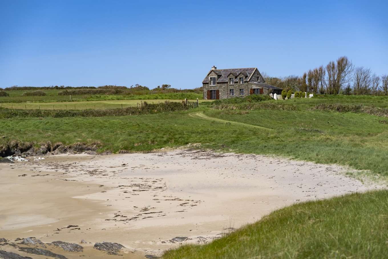 Horse IslandIslet · 1.4 mi
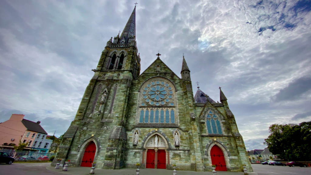 Kilcarriel Church (in Ruins)Church · 1.4 mi
 Toormore Bridgebridge · 1.5 mi
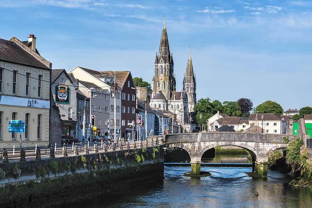 CarrigweeIslet · 1.5 mi
 Ballyrisode WoodWood · 1.8 mi
 AltarViewpoint · 2.0 mi
 KnockaphucaMountain / peak · 2.0 mi
Other information
Photo: Graham Horn · CC BY-SA 2.0