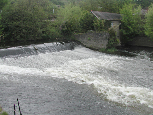
What is recorded here
From the Buildings of Ireland (National Inventory of Architectural Heritage) record 11203027
Places near here
Photo credits
- National Inventory of Architectural Heritage
- JP, Geograph · CC BY-SA 2.0
- Laurel Lodged, Wikimedia Commons · CC BY-SA 4.0
- Pier Paolo Lisarelli, Wikimedia Commons · CC BY-SA 4.0
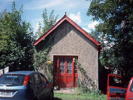 Mardyke HouseBuilding misc · 55 yd
Explorer Tom Mardyke House is basically a pump house from 1920 with a family tree I made up entirely because it’s boring otherwise. It has sluice gates in the river and a lamp that looks like it’s waiting for a date. Bring a notebook and write the bit I made up down.
 mill (water)59 yd
Explorer Tom The Mill in Palmerstown Lower is an old scutch mill from 1780 with huge round-headed windows in limestone rubble walls. It looks like a giant stone mouth ready to eat grain, standing proudly on Mill Lane as an industrial relic.
 engine house84 yd
Explorer Tom Engine house in Palmerstown Lower is a former pump house from 1830, all limestone and blocked arches. It used to power mills but now just stands there on Mill Lane looking confused. Check out the river front for me!
Graveyard in Palmerstown LowerGraveyard · 206 ydExplorer Tom Graveyard in Palmerstown Lower is rectangular with memorials dating back to 1704. In 1955, human remains were found in a field nearby that are probably associated with it, so keep an eye out for any disturbed earth if you’re feeling adventurous and don’t mind a bit of mystery.
IndicatedBarrow, ring-barrow · 431 ydExplorer Tom Barrow in Palmerstown Lower overlooks the Liffey Valley on a hillock. It might just be an overgrown tree-ring, but who wants to know? Have a chat with it, because nobody's watching you ramble about history.
Furry GlenWood · 623 ydExplorer Tom Furry Glen in County Dublin has a stream looking north, which I think means it's watching something. Furry sounds soft but probably isn't. Check for wet socks before you go.
National Famine WayWalking route · 961 ydExplorer Tom National Famine Way in County Dublin is dodging me like it’s got secrets. There’s a lock on the Royal Canal nearby, so maybe the famine just got thirsty? Snap one for me!
 The Royal Canal WayWalking route · 970 yd
Explorer Tom The Royal Canal Way in County Dublin is stuck near Castleknock. The water looks lazy, so I’m betting the path is too. Drop a shot of that lock for my album!
 Castleknock CastleCastle · 1260 yd
Explorer Tom Castleknock Castle in County Dublin is perched right on top of a big old mound, just showing off. It's next to a college, so maybe the students are living in ghost stories now?
 Oldtown WoodWood · 1546 yd
Explorer Tom Oldtown Wood in County Dublin gives a glimpse of the 'Fifteen Acres' and mountains. Sounds like a real estate listing. Probably beautiful though. Take a picture of the gap, not just the trees.
Graveyard in Unknown TownlandGraveyard · 1647 ydExplorer Tom Graveyard in Dublin is in Chapelizod, with medieval burials found under the current church site. The boundary wall is there, but the old graveyard extended further out, which is annoying for archaeologists. Look for the ghost, then pretend you didn't see a thing at all.
 Knockmaree DolmenArchaeological place · 1.0 mi
Explorer Tom Knockmaree Dolmen in County Dublin is having a nap under its giant stone blanket. It’s been snoozing for ages, dreaming about ancient farmers. Wake it up gently if you dare!
More historic places in County Dublin · All of County Dublin

What do you know about this place?Tap to add a comment or ask a question