What is recorded here
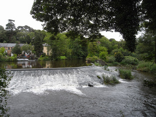
Rubble stone weir, built c.1800, set on curve across River Liffey, with rubble stone sluice to north end, with some cogged iron wheels retained.
The weir is shown on the 6 inch first edition OS map surveyed in 1837. It could be older than dated in record. Although the structure is not clearly visible, the water formation caused by it has much aesthetic appeal with still water following the curve of the weir, and gentle rapids downstream. As a notable landscape feature the weir is a reminder of the industrial heritage of Chapelizod village and part of a greater collection of historic structures along the course of the Liffey.
This does not grant access. Most recorded buildings are privately owned; view them only from public ground unless the owner allows entry.
Places near here
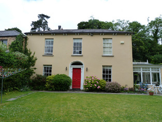 Sunnybankhouse · 70 yd
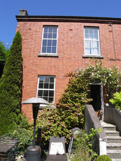 Vale Vieworphanage/children's home · 114 yd
 Graveyard in Unknown TownlandGraveyard · 253 yd
 Town defences in Unknown TownlandTown defences · 256 yd
 Knockmaree DolmenArchaeological place · 496 yd
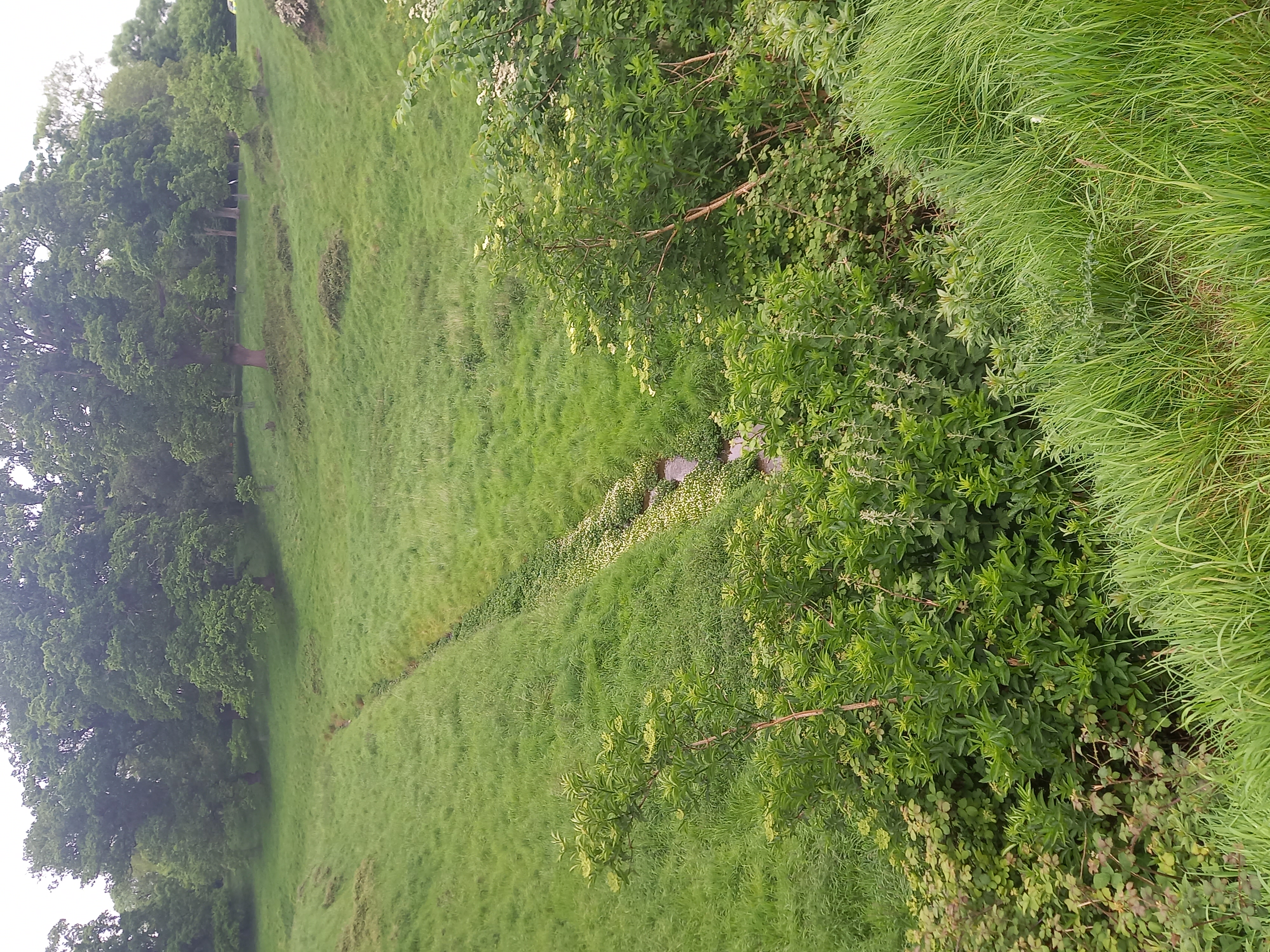 Furry GlenWood · 970 yd
 Oldtown WoodWood · 1194 yd
 Graveyard in Palmerstown LowerGraveyard · 1391 yd
 Islandbridge LodgeVisitor information · 1.4 mi
 Castleknock CastleCastle · 1.5 mi
 Toni'sPicnic place · 1.5 mi
 Kilmainham Jail MuseumMuseum · 1.7 mi
Other information
Photo: National Inventory of Architectural Heritage · Website use allowed for educational or private purposes with source credit