DDiscover AloneMapAbout

Toberpatrick in Ballymunterhiggin

Holy well

What is recorded here

Tober Patrick is now almost destroyed and obscured. (Ó Muirgheasa No. 4) The above description was derived from the 'Archaeological Survey of County Donegal. A description of the field antiquities of the County from the Mesolithic Period to the 17th century.' Compiled by: Brian Lacey with Eamon Cody, Claire Cotter,…

Read the whole record
Tober Patrick is now almost destroyed and obscured. (Ó Muirgheasa No. 4) The above description was derived from the 'Archaeological Survey of County Donegal. A description of the field antiquities of the County from the Mesolithic Period to the 17th century.' Compiled by: Brian Lacey with Eamon Cody, Claire Cotter, Judy Cuppage, Noel Dunne, Vincent Hurley, Celie O'Rahilly, Paul Walsh and Seán Ó Nualláin (Lifford: Donegal County Council, 1983). This site was inspected and recorded by Fintan Walsh under excavation licence no. 03E1012 which was part of the Ballyshannon/Bundoran Bypass road scheme. Th following information was taken from the NRA website which records that ' Ballymunterhiggin 1 was located at the interface between low-lying bogland to the south and west, and a rising hill (large rock outcrop) to the north. The site is at the base of a collapsed cave. The holy well itself was located immediately adjacent to a dry stone and hawthorn boundary wall which defined the limits of the well on its northern side. The southern side of the well was bogland. The opening to the well itself was c. 0.60-0.70 m wide east-west and 1 m north-south. The well opening was bound by bedrock along its western edge while its upper eastern edge was indeterminable due to thick overgrowth and boggy conditions. The well would have to have been approached from the drier northern side. No artefacts were uncovered during clean-back around the well. During the survey it was noticed that there was a well-preserved stile (Stile A) incorporated into a stone wall which defined the field boundary along the adjacent country road. A second stile (which was in bad condition) was recorded to the north-west of Stile A. This stile (Stile B) was incorporated into a dry stone wall field boundary close to the base of the large rocky hill. Stile A was a well-preserved stone stile c. 1.10 m high constructed of fairly irregular stones (0.30-0.40 m diameter) similar to those used in the construction of the stonewall field boundary into which it was incorporated. Architecturally it was defined by a series of three flat steps and a vertical divider. The second stile (Stile B) was badly disturbed and only survived as a break in the dry stonewall into which it was incorporated. Stiles A and B may have facilitated 'pilgrim' access for those visiting the well from the adjacent road' (Walsh, F. 2004).

From the National Monuments Service (Archaeological Survey of Ireland) record DG107-082

The monument record does not grant public access. Check the route and ask the landowner before entering private land.

What do you know about this place?Tap to add a comment or ask a question

What you write will be public.

Places near here

Photo credits
  • Maker not stated on source page, fi.pinterest.com
  • Maker not stated on source page, tripanthropologist.com
  • Maker not stated on source page, www.alamy.com
  • Maker not stated on source page, tr.pinterest.com
  • National Inventory of Architectural Heritage
  • Highland Radio (publisher); individual photographer not stated, highlandradio.com
  • Kenneth Allen, Geograph · CC BY-SA 2.0
  • Maker not stated on source page, www.airbnb.co.in
  • Maker not stated on source page, kids.britannica.com
  • Maker not stated on source page, www.flickr.com
Ballymunterhiggin Fairy FortFairy fort / earthen ringfort · 753 yd

Explorer Tom Ballymunterhiggin Fairy Fort is mostly just a muddy dip and some soggy rushes on the ridge. It’s not exactly a…

Standing stone in BallymunterhigginStanding stone · 1041 yd

Explorer Tom Standing stone in Ballymunterhiggin leans so much it looks like it’s trying to get a better look at the horizon. Two…

Fairy fort / earthen ringfort in DunmuckrumFairy fort / earthen ringfort · 1055 yd

Explorer Tom Fairy fort / earthen ringfort in Dunmuckrum is a half-buried circle where the bank has mostly surrendered to the good…

Megalithic structure in Sminver (carrickboy Ed)Megalithic structure · 1459 yd

Explorer Tom Megalithic structure in Sminver sounds like a grand ancient chamber, but archaeologists dug it up and found... nothing.…

bridge1468 yd

Explorer Tom Bridge in Carrickboy was built in 1866 using a full five-foot-three-inch track, which feels like an oversized suit for…

Fairy fort / earthen ringfort in BallymunterhigginFairy fort / earthen ringfort · 1698 yd

Explorer Tom Ballymunterhiggin ringfort was a thirty-metre circle in the old survey, its bank damaged and its ditch silted on marshy…
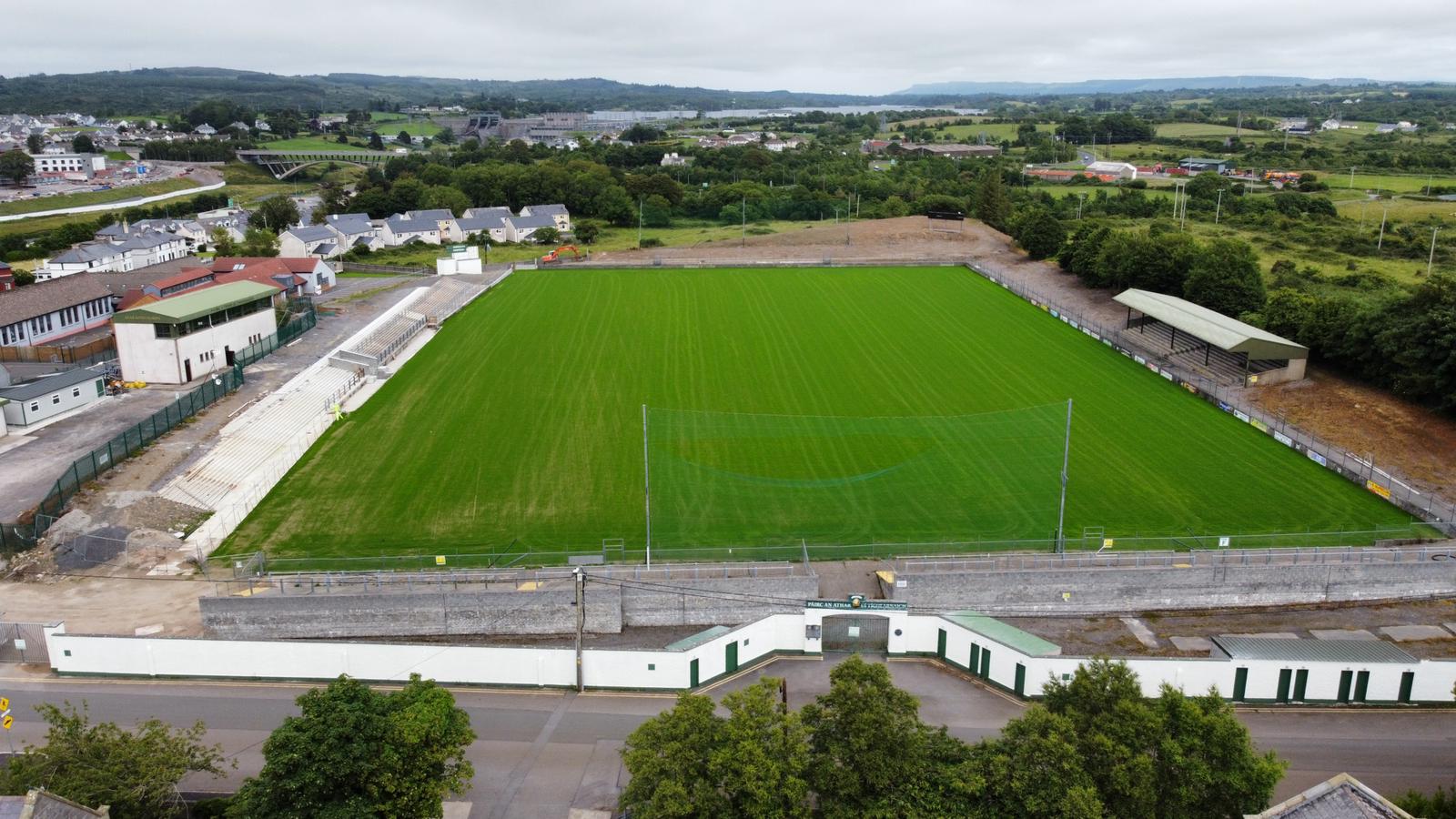
Father Tierney ParkGAA ground · 1.1 miMelly’s BarPub · 1.2 mi

Explorer Tom Melly’s Bar is parked right on East Port in Ballyshannon, so the fishing stories must be genuinely fresh off the boat.…
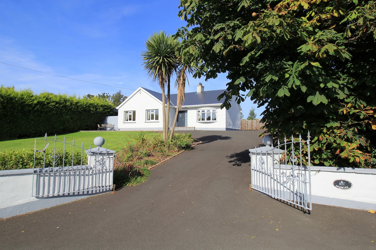
The BridgendPub · 1.2 mi

Explorer Tom The Bridgend sits on East Port, Ballyshannon, looking smug about its name while serving fish that’s seen things better…

WillybrookHouse · 1.2 mi

Explorer Tom Willybrook has a long family trail: old directories link the Allinghams with this property from 1824. The record is…

Inish SamerIslet · 1.4 mi

Explorer Tom Inish Samer is sitting at the River Erne’s mouth, guarding two shards of black pottery. A whole ancient community…

Cave in Abbey IslandCave · 1.9 mi

Explorer Tom Cave in Abbey Island was nearly sold to a farmer for a horse and a sack of oats, which would have been a terrible deal.…

More archaeology and monuments in County Donegal · All of County Donegal

Add to this placeAdd a picture Add a detailed tip Add a story

Explore the map1,095,414 places to discover

Next place · or swipeBallymunterhiggin Fairy Fort