What is recorded here
Excavation licence number A007/001. Monitoring of the proposed N15 Bundoran- Ballyshannon bypass (No. 384 above, 04E1162) revealed the presence of a possible megalith within the wayleave. It measured c. 1.5-2m high and roughly occupied an area of 4m2. The 'capstone' measured c. 0.75m by 1m and rested on three stones (orthostats), which protruded from the ground surface. As the immediate area is characterised by rock outcrops, it is possible that the stones on which the capstone rested were elements of rock outcropping. The arrangement of the stones defined a small 'chamber' within the possible megalith. This was located immediately central to the possible megalith under the 'capstone' and the limits were defined by the 'orthostats' on which the 'capstone' rested. This chamber looked relatively undisturbed and was partially filled on the surface by small rounded stones (c. 0.2-0.3m diameter). The possible chamber measured c. 0.4m in diameter. An area measuring 5m by 5m around the possible megalith was investigated. The 'capstone' was removed and the interior was excavated. Nothing of archaeological significance was noted within the chamber or in the vicinity of the stones within the excavation area. (Excavations Bulletin 2004)
Fintan Walsh, Irish Archaeological Consultancy, 8 Dungar Terrace, Dœn Laoghaire, Co. Dublin.
The monument record does not grant public access. Check the route and ask the landowner before entering private land.
- What survives
- Recorded monument
Places near here
 Church in RuinsChurch · 241 yd
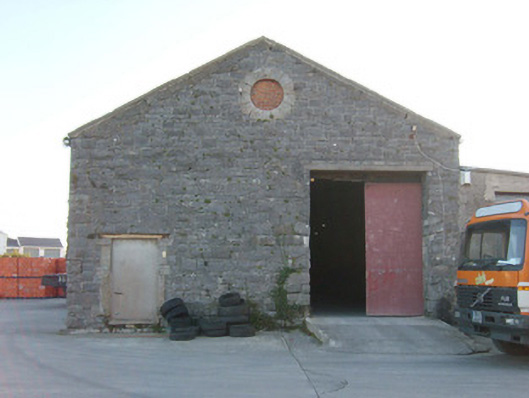 Ballyshannon Railway Stationstore/warehouse, goods shed · 439 yd
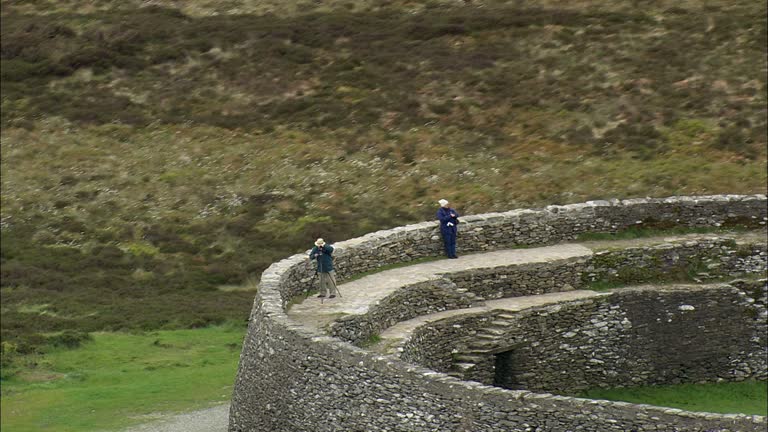 Carrickboy Stone RingfortFairy fort / stone ringfort · 824 yd
 CastleCastle, unclassified · 840 yd
 Standing stone in Townparks (ballyshannon Ed)Standing stone · 1100 yd
 St Anne's Church GraveyardGraveyard · 1170 yd
 Castle in ruinsCastle, unclassified · 1.4 mi
 Wardtown StrandBeach / strand · 2.3 mi
 Tullan StrandBeach / strand · 2.5 mi
 Finner Old GraveyardGraveyard · 2.8 mi
 Cliffs by BundoranPublicly named cliff or headland · 3.2 mi
 Fairy BrigesHeritage attraction · 3.4 mi