
What is recorded here
The ruins of this rubble-built church c. 19m × 9m internally are, for the most part, represented by the lower wall courses, c. 1m thick. No features are visible and the entire structure is obscured by vegetation and fallen masonry.
The above description was derived from the 'Archaeological Survey of County Donegal. A description of the field antiquities of the County from the Mesolithic Period to the 17th century.' Compiled by: Brian Lacey with Eamon Cody, Claire Cotter, Judy Cuppage, Noel Dunne, Vincent Hurley, Celie O'Rahilly, Paul Walsh and Seán Ó Nualláin (Lifford: Donegal County Council, 1983). In certain instances the entries have been revised and updated.
Date of upload: 22 September 2008
The monument record does not grant public access. Check the route and ask the landowner before entering private land.
- What survives
- Recorded monument
Places near here
 bridgebridge · 279 yd
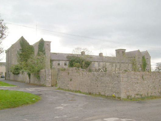 workhouseworkhouse · 518 yd
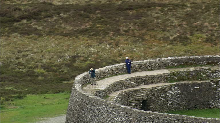 Carrickboy Stone RingfortFairy fort / stone ringfort · 621 yd
 CastleCastle, unclassified · 799 yd
 St Anne's Church GraveyardGraveyard · 1056 yd
 Standing stone in Townparks (ballyshannon Ed)Standing stone · 1100 yd
 Castle in ruinsCastle, unclassified · 1.5 mi
 Wardtown StrandBeach / strand · 2.2 mi
 Tullan StrandBeach / strand · 2.4 mi
 Finner Old GraveyardGraveyard · 2.7 mi
 Cliffs by BundoranPublicly named cliff or headland · 3.1 mi
 Fairy BrigesHeritage attraction · 3.3 mi
Other information
Photo: Credit not shown in the picture search · Rights wording not checked; contact us if this picture should be removed