What is recorded here
One stone still leans in the rough pasture near the ridge summit, though a second may have tumbled into the grass or vanished entirely. The first witness recorded both in 1946, spaced thirty-six feet apart and aligned east to west, suggesting they marked a boundary, a path or a promise now forgotten. The surviving stone keeps its tilt like a person caught mid-gesture, still pointing across the ridge toward whatever the other once faced.
A standing stone, leaning considerably but originally c. 1.1m high × 0.75m wide. This is probably one of the two stones '36ft apart and orientated almost due E-W' which were previously recorded at the site in 1946 (Davies). A loose stone lying nearby may be the second stone referred to. Situated in rough pasture land near the summit of a rocky ridge.
The above description was derived from the 'Archaeological Survey of County Donegal. A description of the field antiquities of the County from the Mesolithic Period to the 17th century.' Compiled by: Brian Lacey with Eamon Cody, Claire Cotter, Judy Cuppage, Noel Dunne, Vincent Hurley, Celie O'Rahilly, Paul Walsh and Seán Ó Nualláin (Lifford: Donegal County Council, 1983). In certain instances the entries have been revised and updated.
Date of upload: 22 September 2008
Likely dating to the Neolithic or Bronze Age, this standing stone may have been part of a ritual or ceremonial alignment. Its orientation and placement suggest a possible function in marking territory, celebrating celestial events, or serving as a focal point for local prehistoric communities.
The monument record does not grant public access. Check the route and ask the landowner before entering private land.
- What survives
- Recorded monument
Places near here
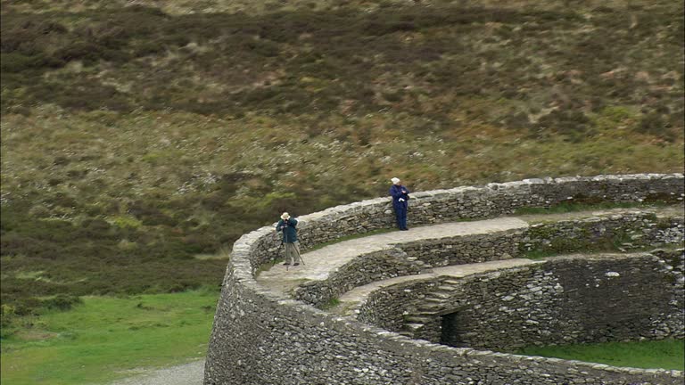 Carrickboy Stone RingfortFairy fort / stone ringfort · 432 yd
 bridgebridge · 796 yd
 TobernacreevaHoly well · 970 yd
 Church in RuinsChurch · 997 yd
 CastleCastle, unclassified · 1700 yd
 St Anne's Church GraveyardGraveyard · 1.0 mi
 Castle in ruinsCastle, unclassified · 1.9 mi
 Wardtown StrandBeach / strand · 2.0 mi
 Tullan StrandBeach / strand · 2.1 mi
 Finner Old GraveyardGraveyard · 2.3 mi
 Cliffs by BundoranPublicly named cliff or headland · 2.7 mi
 Fairy BrigesHeritage attraction · 2.9 mi