
What is recorded here
In reclaimed marshland. Named ‘Tobernanarm’ in Gothic script on the 1838 and 1920 editions of the 6-inch OS maps. On inspection it appeared to be a natural spring well, choked with weeds, where no votive offerings were visible. The spring fed a stream named ‘Bellanabradaun’. The site is now bordered my modern housing developments to the W, N and E, and is marked ‘Open Well’ on the current OSi digital mapping. (O’Flanagan 1927, Vol. 1, 311)
Compiled by: Galway Archaeological Survey, UCG
Date of upload: 18 April 2023
The monument record does not grant public access. Check the route and ask the landowner before entering private land.
- What survives
- Recorded monument
Places near here
 Oranmore National Schoolschool · 387 yd
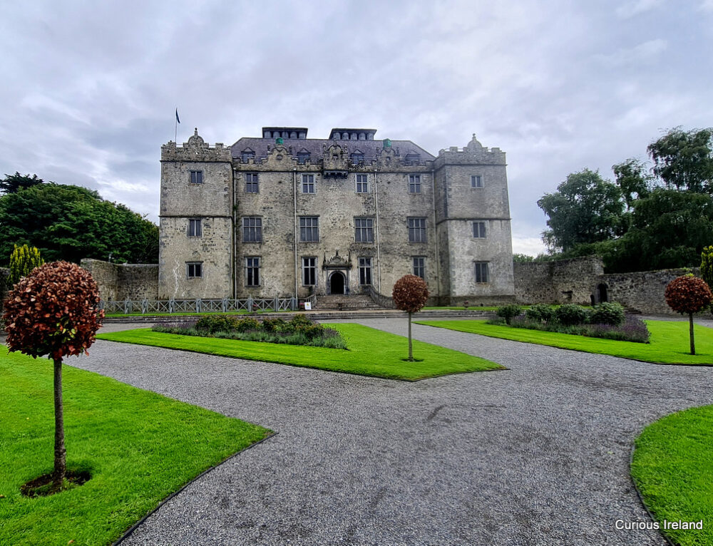 Moneyduff Castle (Site of)Castle, unclassified · 491 yd
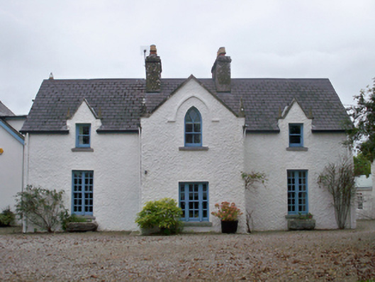 Roseville Cottagehouse · 519 yd
 Oran FortFairy fort / earthen ringfort · 754 yd
 Castle (in Ruins)Castle, tower house · 910 yd
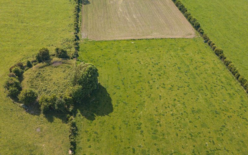 Fairy fort / stone ringfort in Rinville EastFairy fort / stone ringfort · 1297 yd
 North WoodWood · 1.6 mi
 South WoodWood · 1.7 mi
 Leadmine HillMountain / peak · 2.3 mi
 Rabbit IslandIslet · 3.3 mi
 Ballyloughane BeachBeach / strand · 3.7 mi
 Ardfry PointHeadland · 3.7 mi
Other information
Photo: Credit not shown in the picture search · Rights wording not checked; contact us if this picture should be removed