
What is recorded here
Situated on poorly drained land, in the middle of a flat pasture field, on the N side of a small valley. Depicted on the revised 1910 ed. OS 25-inch map as a well named ‘Tobernakill’. Carn Castle (WM030-030----) lies c. 100m to SE. Levelled monument described in 1983 as no surface remains visible as it is now sealed with concrete. Holy well is not visible today on Digital Globe aerial photography.
Compiled by Alison McQueen, Vera Rahilly and Caimin O’Brien.
Date of upload: 08 November 2019
Tobernakill in Carnpark is traditionally associated with Saint Fillan, a 7th-century Irish monk and healer linked to several holy wells in Perth and Kinross. The well's name, derived from the Gaelic "Tobar na Cille," suggests a connection to a cell or chapel, reflecting early Christian monastic practices in the region.
The monument record does not grant public access. Check the route and ask the landowner before entering private land.
- What survives
- Recorded monument
Places near here
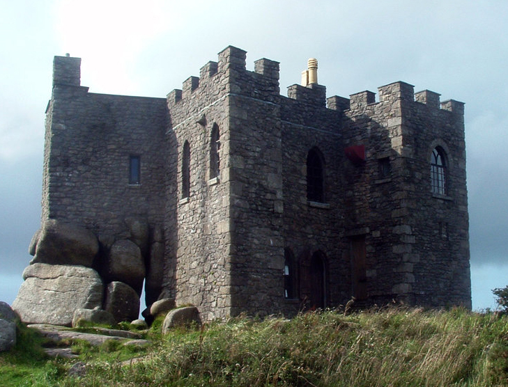 Carn CastleCastle, tower house · 123 yd
 Settlement cluster in CarnparkSettlement cluster · 280 yd
 IndicatedEnclosure · 406 yd
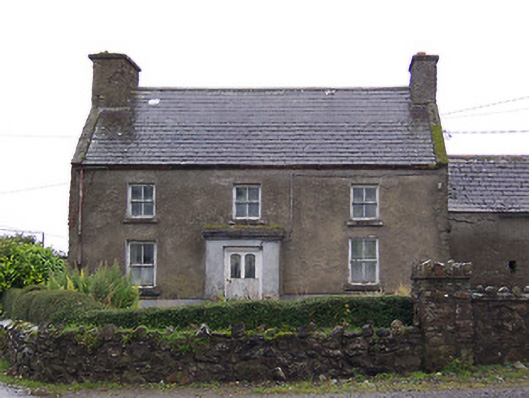 Nahod Beag Househouse · 1075 yd
 farm housefarm house · 1299 yd
 Creeve CastleCastle, tower house · 1.2 mi
 Dún na Sí Heritage CentreMuseum · 3.0 mi
 Dún na SíMuseum · 3.0 mi
 Charles BianconiMemorial · 3.8 mi
 Moate HillMountain / peak · 4.0 mi
 Temple's IslandIslet · 4.6 mi
Other information
Photo: Credit not shown in the picture search · Rights wording not checked; contact us if this picture should be removed