What is recorded here
Killogeenaghan Castle vanished before modern maps existed, leaving only a Down Survey marking in Kilcleagh parish. That absence is not a failure of recordkeeping; it is the shape of the place. A castle can refuse to be found, keeping its walls hidden from everyone who arrives certain they already understand the land.
The precise location of Killogeenaghan Castle has not been identified. The castle is depicted on the 1654-9 Down Survey map of Kilcleagh parish (NLI, MS 723-4). The castle is not depicted on any edition of the OS 6-inch maps.
Compiled by: Caimin O'Brien
Date of upload: 12 October 2016
The monument record does not grant public access. Check the route and ask the landowner before entering private land.
- What survives
- Recorded monument
Places near here
 Enclosure in KillogeenaghanEnclosure · 469 yd
 Dotted outlineFairy fort / earthen ringfort · 506 yd
 Church in Glen (clonlonan By.)Church · 1213 yd
 CastleCastle, ringwork · 1377 yd
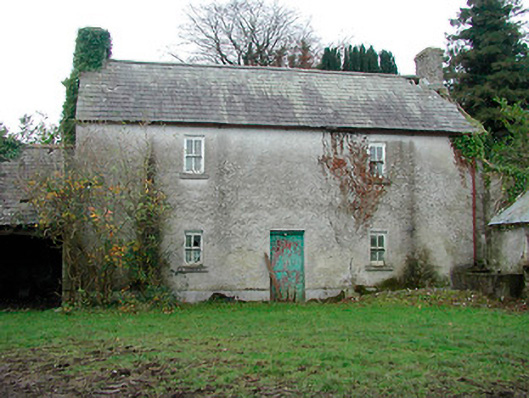 farm housefarm house · 1541 yd
 TullymagawlyBawn · 1.3 mi
 European ashEuropean ash · 2.6 mi
 Long IslandIsland · 3.8 mi
 Wren's IslandIslet · 4.3 mi
 Athlone Music MuseumMuseum · 4.9 mi
 1916 Centenery CommemorationMemorial · 5.0 mi