What is recorded here
Situated on a rise, in pasture and overlooking low-lying, rough pasture to N. Depicted on the revised 1910 ed. OS 25-inch map as a roughly oval-shaped earthwork abutting a field boundary to E and S. Monument described in 1973 as a roughly circular-shaped area (approx. diam. 42m) defined by a scarp, an intervening…
Read the whole record
From the National Monuments Service (Archaeological Survey of Ireland) record WM030-088
Places near here
Photo credits
- Maker not stated on source page, tr.pinterest.com
- Maker not stated on source page, www.pinterest.com
- Maker not stated on source page, commons.wikimedia.org
- National Inventory of Architectural Heritage
- Small photographer watermark at lower left; lettering is not clear enough to identify the maker confidently, www.advertiser.ie
 Fairy fort / earthen ringfort in KillogeenaghanFairy fort / earthen ringfort · 499 yd
Explorer Tom Killogeenaghan Ringfort has a beef with the rain because every drop tries to wash its personality away into the pasture…
 CastleCastle, unclassified · 506 yd
Explorer Tom Castle in Killogeenaghan would cope on a reality show by ignoring everyone and staring out the window dramatically.…
 Fairy fort / earthen ringfort in AghavoneenFairy fort / earthen ringfort · 1378 yd
Explorer Tom Fairy fort in Aghavoneen saw a dramatic event where a sheep fell off a bank and landed perfectly. The locals still…
 Earthwork in Glen (clonlonan By.)Earthwork · 1638 yd
Explorer Tom The earthwork in Glen is a sixty-metre oval cropmark that looks like it’s been stretched by a very enthusiastic farmer.…
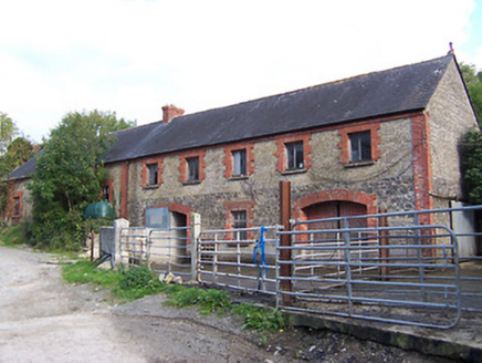 Glynnwood HouseOutbuilding · 1.0 mi
Explorer Tom Glynnwood House in Glen is planning retirement by simply being an outbuilding with half brick and half rubble stone…
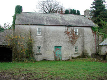 farm house1.1 mi
Explorer Tom Farm house in Cartron is standing straight as an arrow, looking like it has a twin hiding somewhere under the Atlantic…
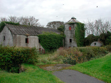 mill (water)1.2 mi
Explorer Tom Mill in Ballynacarrow is a corn mill that stopped grinding in the forties, but it still looks like it’s mid-thought.…
 Kilcleagh GraveyardGraveyard · 1.4 mi
Explorer Tom Kilcleagh Graveyard has rules for visitors: wear sensible shoes, keep your voice down, and don’t touch the weirdly…
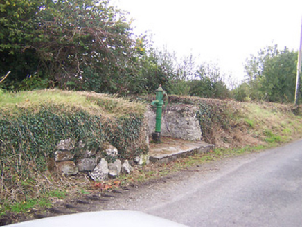 water pump1.4 mi
Explorer Tom Water pump in Tully is actually run by a very serious terrier who demands biscuits. He's been guarding it since 1890…
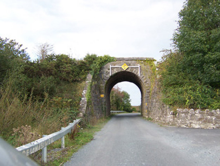 bridge1.5 mi
Explorer Tom Bridge in Tully would write on its dating profile: 'Robust, reliable, and currently single since 1987.' It’s a railway…
 Graveyard in BallycahillroeGraveyard · 1.6 mi
Explorer Tom Graveyard in Ballycahillroe, County Westmeath gets strong opinions from the local sheep who think the wall curve is a…
 Castledaly GAA pitchGAA ground · 1.8 mi
More archaeology and monuments in County Westmeath · All of County Westmeath

What do you know about this place?Tap to add a comment or ask a question