What is recorded here
Situated on the N edge of a low ridge running roughly WNW-ESE, in pasture, with good views to N and E. Ringfort (WM036-003001-) and Man-made underground passage (WM036-003002-) lies c. 125m to NW and ringwork (WM036-005----) lies c. 195m to SE. Not depicted on OS maps. Monument described in 1973 as a roughly circular-shaped area (diam. 29m) enclosed by an earthen bank visible from ENE-E-S-WNW and reduced to a scarp from WNW-N-ENE. The ground falls sharply at the base of the scarp. Levelled monument is not visible today on Digital Globe aerial photography.
Compiled by Alison McQueen, Vera Rahilly and Caimin O’Brien.
Date of upload: 28 November 2019
The monument record does not grant public access. Check the route and ask the landowner before entering private land.
- What survives
- Recorded monument
Places near here
 IndicatedFairy fort / earthen ringfort · 168 yd
 CastleCastle, ringwork · 232 yd
 Enclosure in AghavoneenEnclosure · 275 yd
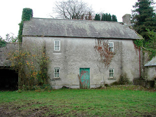 farm housefarm house · 675 yd
 Killomenaghan Bridgebridge · 1474 yd
 Cloghawareschal CastleCastle, unclassified · 1.9 mi
 European ashEuropean ash · 2.2 mi
 Long IslandIsland · 4.0 mi
 Wren's IslandIslet · 4.7 mi
 Athlone Music MuseumMuseum · 5.4 mi
 1916 Centenery CommemorationMemorial · 5.5 mi