What is recorded here
Situated in pasture, with good views to E, on first ed. OS 6-inch map the ringfort stands at the N end of a woodland plantation. Ringfort (WM036-007----) lies c. 125m to SE. Depicted on the revised 1910 ed. OS 25-inch map as an oval-shaped earthwork. Monument described as a roughly oval-shaped area (dims. 34m N-S; 28m E-W) defined by an irregular embankment which has a number of denuded areas and depressions. There is no definite indication of an external fosse. The interior has a S-facing slope with an uneven surface, possibly due to underlying rock outcrop. A Man-made underground passage (WM036-003002-) is visible in the NE quadrant. Monument is visible today as a roughly oval-shaped tree-planted earthwork on Digital Globe aerial photography.
Situated in pasture, with good views to E, on first ed. OS 6-inch map the ringfort stands at the N end of a woodland plantation. Ringfort (WM036-007----) lies c. 125m to SE. Depicted on the revised 1910 ed. OS 25-inch map as an oval-shaped earthwork. Monument described as a roughly oval-shaped area (dims. 34m N-S; 28m E-W) defined by an irregular embankment which has a number of denuded areas and depressions.…
From the National Monuments Service (Archaeological Survey of Ireland) record WM036-003001
The monument record does not grant public access. Check the route and ask the landowner before entering private land.
- What survives
- Recorded monument
Places near here
Photo credits
- National Inventory of Architectural Heritage
- Willow, Wikimedia Commons · CC BY 2.5
- Wikimedia Commons contributor · CC BY-SA 3.0
- dougf, Wikimedia Commons · CC BY-SA 2.0
- Pat Byrne, Geograph · Creative Commons Attribution-ShareAlike 2.0
- Sgbrito at Portuguese Wikipedia, Wikimedia Commons · Public domain
- Christophe Krief, Wikimedia Commons · CC BY-SA 4.0
- Mike Searle, Geograph · CC BY-SA 2.0
- Bob Embleton, Wikimedia Commons · CC BY-SA 2.0
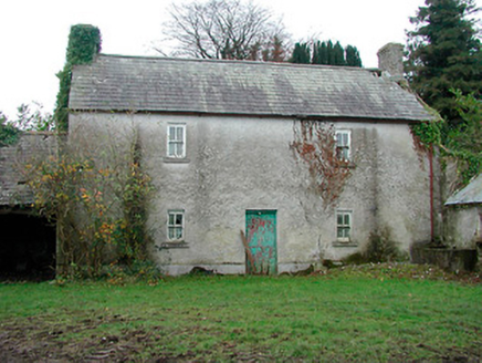 farm house751 yd
 Killomenaghan BridgeBridge · 1555 yd
 European ash2.2 miMoydrum Castle WoodlandForest · 3.3 mi
 Moydrum CastleCastle · 3.4 mi
 Esker CastleCastle, tower house · 3.5 miLong IslandIsland · 4.0 mi
 WeirWeir, fish · 5.5 mi
 Athlone CastleMuseum · 5.6 mi
 Athlone CastleVisitor information · 5.6 mi
 Historic Town - Athlone Castle & Church of St Peter and PaulVisitor information · 5.6 mi
 Rock art in ClonfinloughRock art · 6.7 mi
More archaeology and monuments in County Westmeath · All of County Westmeath
What do you know about this place?