
What is recorded here
Situated on the S side of a low ridge running E-W, in pasture, with good views to E, S and W. Ringfort (WM030-099----) lies c. 145m to NE. Site of levelled castle located in the angle between a public road running N-S and a second public road running NW-SE. Depicted on the 1837 ed. OS 6-inch map as a rectangular-shaped building aligned N-S on its long axis, running parallel to the road. Annotated ‘Cloghawareschal Castle’ on this map. According to Cox (1972, 152) George Magawly was owner of the castle and lands at Clogmarishall in 1640, the name of which means ‘the stone castle of the marshal’ (ibid).
Castle site described in 1979 as remains consist of a scarp (H c. 2m; L 5m) running roughly N-S from a modern field fence at S which may be the remains of a wall. There is second possible wall incorporated into the field fence running NW-SE. The scarp continues in an uneven and irregular manner for further 8m to N. The area around the scarps is covered by a number of very large rocks (approx. dims. L 1.5m; Wth 0.5m; T 0.3m) some of which have a regular rectilinear outline and appear roughly hewn. Some of these could be field clearance dumped in the corner of the field, however one on the NW seems to be a large piece of masonry. There are no surface features visible in the field, although the area of the castle is partly overgrown with thorn trees and briars. The field across the road to the E is known locally as the Castle Field. The curving earth and stone field boundary of this field may have acted as a bailey or courtyard boundary for the castle. Area of castle site is obscured today by mature trees along the adjacent field boundaries on Digital Globe aerial photography.
Compiled by Alison McQueen, Vera Rahilly and Caimin O’Brien.
Date of upload: 09 November 2019
Cloghawareschal Castle, Magheramore was likely built by a local Gaelic family in the late medieval period, though specific builders and dates remain unidentified. Its location and association with a nearby ringfort suggest it was part of a wider defensive or territorial network in the region.
The monument record does not grant public access. Check the route and ask the landowner before entering private land.
- What survives
- Recorded monument
Places near here
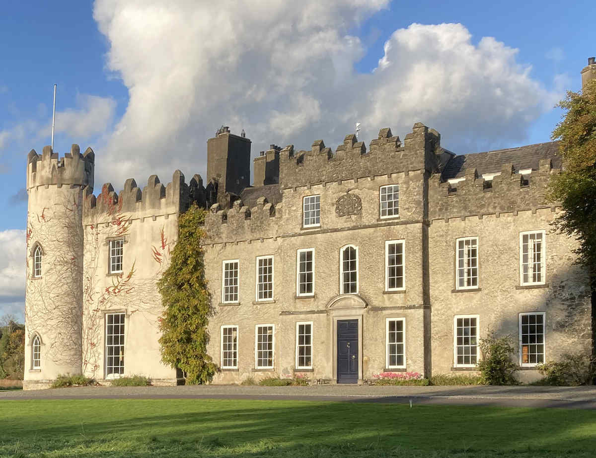
 Farnaghcountry house · 1305 yd
 CastleCastle, unclassified · 1408 yd
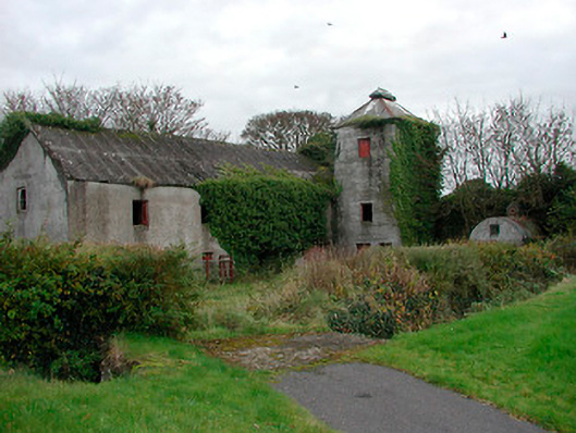 mill (water)mill (water) · 1438 yd
 Church (Site of)Church · 1441 yd
 Enclosure in KillinroanEnclosure · 1483 yd
 Dún na SíMuseum · 1.8 mi
 Dún na Sí Heritage CentreMuseum · 1.8 mi
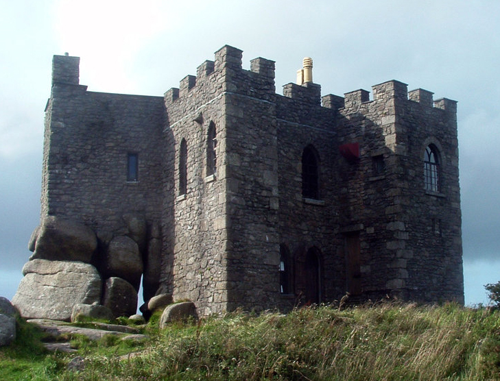 Carn CastleCastle, tower house · 2.0 mi
 Charles BianconiMemorial · 2.4 mi
 Moate HillMountain / peak · 2.6 mi
 European ashEuropean ash · 3.9 mi
Other information
Photo: Credit not shown in the picture search · Rights wording not checked; contact us if this picture should be removed