What is recorded here
Building depicted as 'Old castle' on the 1837 Ordnance Survey Fair Plan map where it is shown standing on a slight bend of a field in the NW corner adjacent to a group of farm buildings. Castle building depicted at this location on the 1838 ed. OS 6-inch map. The Ordnance Survey memoranda records that there were the…
Read the whole record
Building depicted as 'Old castle' on the 1837 Ordnance Survey Fair Plan map where it is shown standing on a slight bend of a field in the NW corner adjacent to a group of farm buildings. Castle building depicted at this location on the 1838 ed. OS 6-inch map. The Ordnance Survey memoranda records that there were the ruins of a castle which was 'said to have belonged to Red Charley Coghlan' (OS Memoranda, 15). Site visited in 1979 and the following was recorded; 'Nothing now remains on the surface. The field in which the site is marked slopes upwards to the E. There are traces of wide old cultivations ridges running E-W (SMR File 20/3/1979). Monument site was revisited in 1982 and the following was recorded; 'The site is now occupied by a modern farmyard. There is no trace of an ancient building nor are there any fragments of medieval building incorporated with the modern structures' (SMR File 29/03/1982).
From the National Monuments Service (Archaeological Survey of Ireland) record WM036-013001
Places near here
Picture notes
- Computer-made picture. It does not show this monument.
- National Inventory of Architectural Heritage
- Computer-made picture. It does not show this playground.
- Willow, Wikimedia Commons · CC BY 2.5
- dougf, Wikimedia Commons · CC BY-SA 2.0
- Computer-made picture. It does not show this garden.
- Mike Searle, Wikimedia Commons · CC BY-SA 2.0
 Ecclesiastical enclosure in BallycahillroeEcclesiastical enclosure · 49 ydComputer-made picture
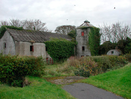 mill (water)769 yd
 Toorard WellWell · 825 ydComputer-made picture
 Ecclesiastical enclosure in KilcleaghEcclesiastical enclosure · 1116 ydComputer-made picture
 Grave YardGraveyard · 1123 ydComputer-made picture
 Fairy fort / earthen ringfort in SeeogeFairy fort / earthen ringfort · 1231 ydComputer-made picture
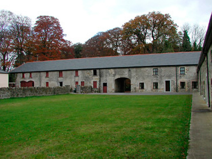 Castledaly ManorFarmyard complex · 1371 yd
 Children's playground1.8 miComputer-made picture
 European ash3.2 mi
 Esker CastleCastle, tower house · 3.8 mi
 Oliver Donoghue's Yard since 1992Garden · 4.1 miComputer-made picture
 Clonlyon CastleCastle, tower house · 8.3 mi
More castles and forts in County Westmeath · All of County Westmeath

What do you know about this place?Tap to add a comment or ask a question