What is recorded here
On a slight rise of ground in undulating countryside. A roughly oval-shaped graveyard (WM036-009001-) defined by a poorly preserved stone wall of post-medieval date which remains upstanding from W-N-E elsewhere it has been removed. They ivy-covered ruins of a medieval church (WM036-009----) stand in the N quadrant of the graveyard. A modern cemetery has been built onto the S side of the graveyard and an access road has been constructed around the earlier graveyard which has resulted in the partial destruction of the enclosing graveyard wall. The graveyard contains memorials dating from the 18th century onwards. Swan (1988, 10) identified the presence of an oval-shaped enclosure at Kilcleagh which may have been the remains of an Early Christian ecclesiastical enclosure. The semi-circular shaped scarp of the old graveyard visible on the S side only may be following the line of the possible ecclesiastcial enclosure at Kilcleagh.
Compiled by: Caimin O’Brien
Date of upload: 11 August 2014
This remains an important historical record, but the official description says the monument is no longer visible or has been destroyed. The monument record does not grant public access. Check the route and ask the landowner before entering private land.
- What survives
- No visible remains or recorded as destroyed
Places near here
 Kilcleagh ChurchChurch · 2 yd
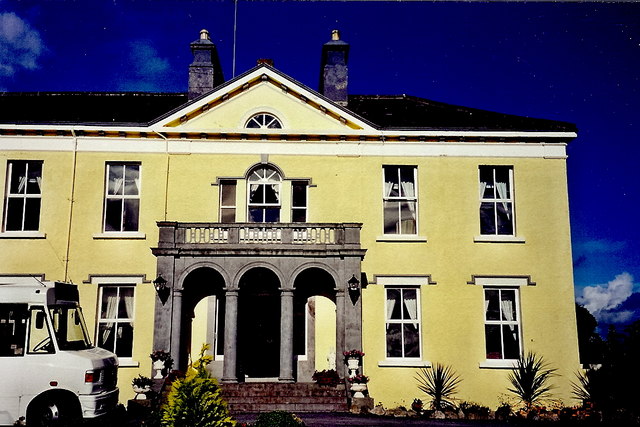 Castledaly Manorcountry house · 404 yd
 BatteryBastioned fort · 645 yd
 Church (Site of)Church · 1115 yd
 CastleCastle, ringwork · 1374 yd
 Cloghawareschal CastleCastle, unclassified · 1.4 mi
 European ashEuropean ash · 2.6 mi
 Dún na SíMuseum · 2.9 mi
 Dún na Sí Heritage CentreMuseum · 3.0 mi
 Charles BianconiMemorial · 3.4 mi
 Moate HillMountain / peak · 3.4 mi