What is recorded here
The holy well marked Toberfinan on the 2nd and 3rd editions of the OS 6-inch maps appears to be marked in the wrong location which may explain why it was not located by the Archaeological Survey of Donegal. The well is located on wet poorly drained marshy land and consists of a natural spring well that is partially…
Read the whole record
From the National Monuments Service (Archaeological Survey of Ireland) record DG048-006
Places near here
Photo credits
- National Inventory of Architectural Heritage
- Kenneth Allen, Geograph · CC BY-SA 2.0
- Maker not stated on source page, curiousireland.ie
- Maker not stated on source page, navicup.com
- Maker not stated on source page, storage.googleapis.com
- A McCarron, Wikimedia Commons · CC BY-SA 2.0
- Anne Burgess, Wikimedia Commons · CC BY-SA 2.0
- Maker not stated on source page, ru.pinterest.com
- Kenneth Allen, Wikimedia Commons
- Maker not stated on source page, www.youtube.com
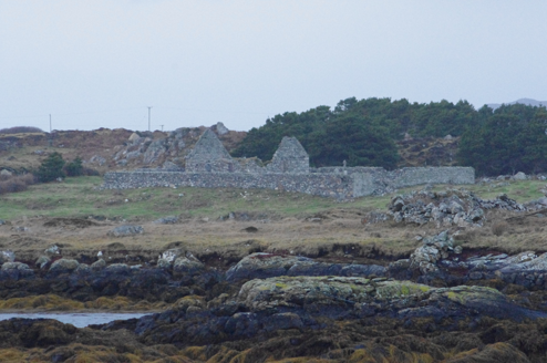 Teampall Cróine [Templecrone]Church/chapel · 396 yd
Explorer Tom Teampall Cróine [Templecrone] has stood roofless since c.1620, meaning it has spent four centuries staring straight up…
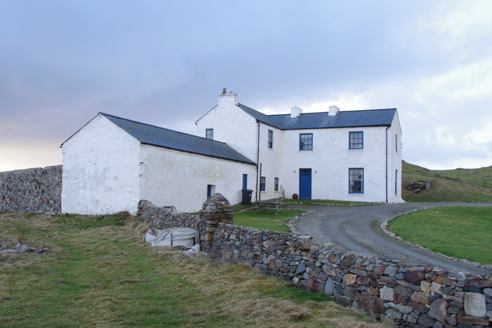 Termon HouseSteward's house · 487 yd
Explorer Tom Termon House, built around 1770, has a base that slopes outward, probably to throw rain away from its walls. A raindrop…
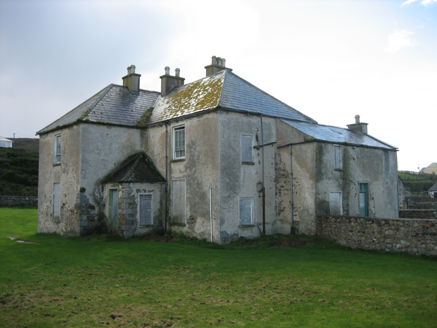 The RectoryRectory/glebe/vicarage/curate's house · 1201 yd
Explorer Tom The Rectory in Maghery Glebe was built around 1825 and looks toward Maghery Bay. If I had a desk full of paperwork…
 Strand View BarPub · 1205 yd
Explorer Tom Strand View Bar probably has a view of the sea and a lot of people staring at it. It's in Donegal, where the wind tries…
 Portal tomb in An Roisín TheasPortal tomb · 1358 yd
Explorer Tom Portal tomb in An Roisín Theas has lost a few bricks since an artist sketched it back in the 1790s. It’s tucked into a…
 Inis FraoighIsland · 1.2 mi
Explorer Tom Inis Fraoigh is the larger Inishfree Island between Dungloe and Burtonport, where families once farmed and fished. I…
 EadarinisIslet · 1.2 mi
Explorer Tom Eadarinis is so small that if you sneeze too hard, it might actually jump into the next county for a holiday. Its…
 Lough Aghnish Promontory FortPromontory fort, inland · 1.6 mi
Explorer Tom Lough Aghnish Promontory Fort cuts off a peninsula with a stone wall that has a weird, angled entrance. The base is…
 CroaghnamaddyMountain / peak · 2.4 mi
Explorer Tom Craigawaddykeagh in County Donegal is showing off its name like a peacock. If it won the lotto, it’d buy a bigger hat…
 Mapped cemeteryCemetery · 3.2 mi
Explorer Tom Mapped cemetery complains to the council about how the grass is always too short on the left side because it likes…
 Trá an ChaisilBeach / strand · 3.2 mi
Explorer Tom Trá an Chaisil on Arranmore has a cracking trick: it puts a small island shore beside a story that reaches across…
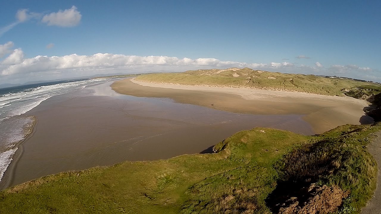 An Trá DheargBeach / strand · 3.4 mi
Explorer Tom An Trá Dhearg means Red Strand in Irish, which map makers probably thought was a nice touch until they realized how…
More archaeology and monuments in County Donegal · All of County Donegal

What do you know about this place?Tap to add a comment or ask a question