What is recorded here
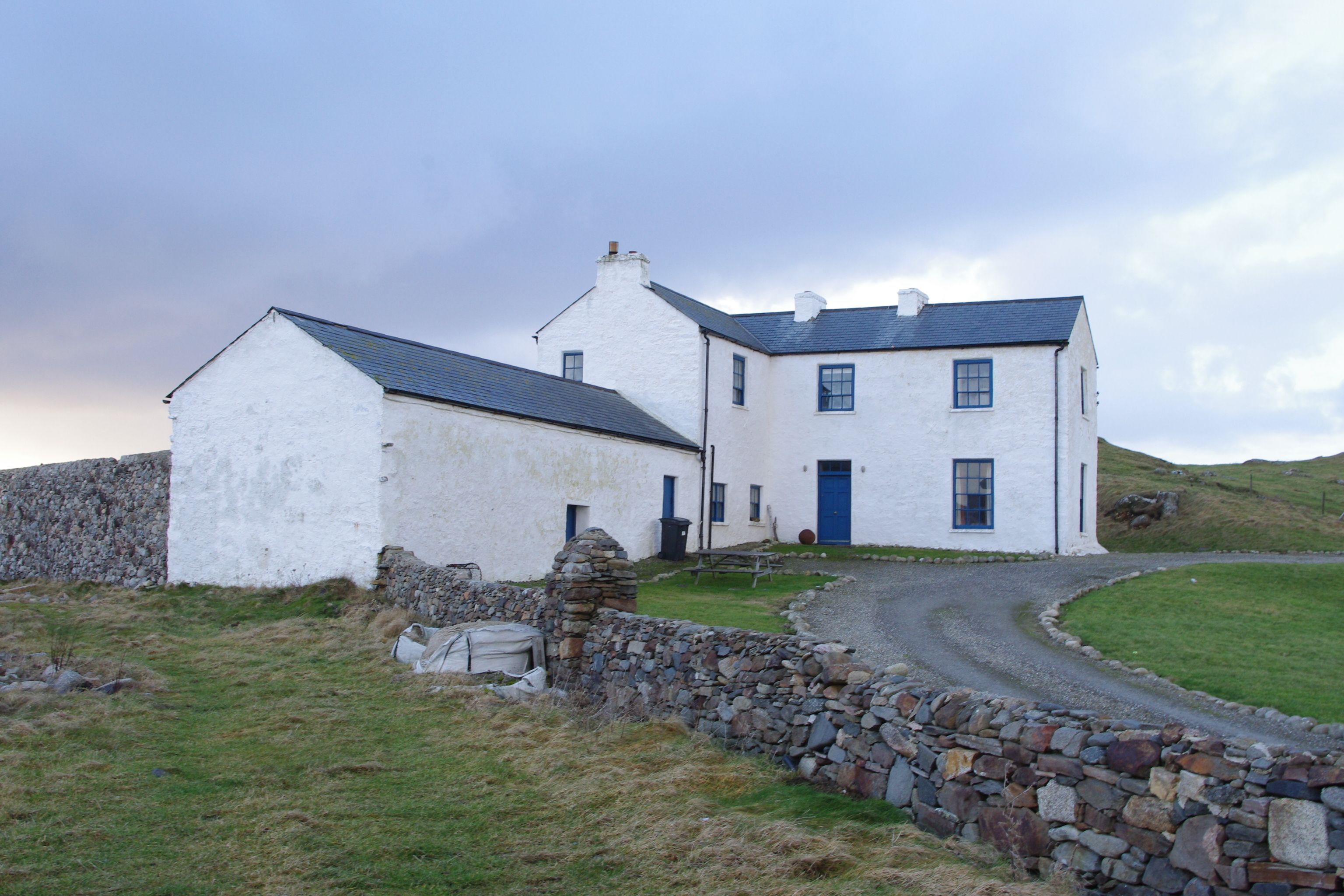
Detached L-plan three-bay two-storey former land agent's house, built c.1770, now in use for holiday rental. Three-bay two-storey wing to southeast with two-bay single-storey outbuilding addition to southeast end of latter. Pitched and hipped replacement slate roof with cast-iron rainwater goods and low roughcast-rendered chimneystacks with clay pots. Pitched slate roof to outbuilding. Roughcast-rendered walls on battered plinth. Square-headed window openings with painted concrete sills and timber sliding sash windows, six-over-six pane without horns to ground floor and six-over-three pane to first floor. Square-headed replacement timber door with paned overlight. Approached by laneway to northeast with field-stone "Famine Wall" of c.1847 extending to east and west, field-stone wall to east flanking laneway and gateway comprising angled field-stone piers with graded copings.
This house overlooking Bá an Mhachaire [Maghery Bay] was built for the land agent of the local landlord, the Marquis of Conyngham, in the latter part of the eighteenth century. The property is now managed by the Irish Landmark Trust. It comprises a two-storey house and adjoining barn, set within a three-acre plot and surrounded with a boundary wall that was built about 1847 to protect the house from the sea and to provide relief for the local population affected by the Great Famine. It has some of the detailing of formal Georgian buildings, in particular in its timber sash windows. The battered plinth is an unusual feature, probably designed to throw rainwater away from the walls.
From the Buildings of Ireland (National Inventory of Architectural Heritage) record 40904816
This does not grant access. Most recorded buildings are privately owned; view them only from public ground unless the owner allows entry.
Places near here
Photo credits
- National Inventory of Architectural Heritage
- A McCarron, Wikimedia Commons · CC BY-SA 2.0
- Anne Burgess, Wikimedia Commons · CC BY-SA 2.0
- Joseph Mischyshyn, Wikimedia Commons · CC BY-SA 2.0
- louise price, Geograph · CC BY-SA 2.0
- Robert Bone, Wikimedia Commons · CC BY-SA 2.0
- Eric Jones, Geograph · CC BY-SA 2.0
- Mhdelaney, Wikimedia Commons · CC BY-SA 4.0
- Bart Whelan, Wikimedia Commons · CC BY-SA 2.0
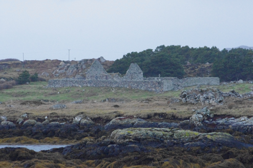 Teampall Cróine [Templecrone]Church/chapel · 765 yd
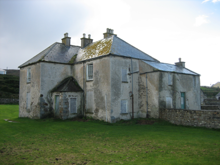 The RectoryRectory/glebe/vicarage/curate's house · 1049 yd
 Lough Aghnish Promontory FortPromontory fort, inland · 1.5 mi
 CroaghnamaddyMountain / peak · 2.4 mi
 Inis Mhic an DoirnIsland · 2.8 mi
 An tÍochtarIsland · 3.9 mi
 DooeyOfficial bathing water · 4.9 mi
 Cairn on Cnoc an IolairPublicly named cairn · 5.1 mi
 Drumlaghdrid HillMountain / peak · 5.7 mi
 Narin–Portnoo StrandOfficial bathing water · 6.5 mi
 Tor an ÉidighHeadland · 7.0 mi
 Doon FortFairy fort / stone ringfort · 7.3 mi
More historic places in County Donegal · All of County Donegal
What do you know about this place?