
What is recorded here
Some 200m N of a church (GA056-055001-), adjacent to a small stream. Marked on 1st ed. of OS 6-inch map. According to OS Letters (O'Flanagan 1927, Vol. 1, 187), it was called 'St. Eny's holy well ... a large and venerable ash tree grows over it'. No visible surface trace survives.
The above description is derived from the published 'Archaeological Inventory of County Galway Vol. II - North Galway'. Compiled by Olive Alcock, Kathy de hÓra and Paul Gosling (Dublin: Stationery Office, 1999).
Date of upload: 05 August 2010
Linked to St. Eny (or Ennia), a 5th-century Irish saint associated with several holy wells in Munster. The well was considered healing, particularly for eye ailments, and was visited with traditional rituals such as circling the site sunwise and making offerings.
The monument record does not grant public access. Check the route and ask the landowner before entering private land.
- What survives
- Recorded monument
Places near here
 Church in ruinsChurch · 209 yd
 Cloghanower Castle in ruinsCastle, tower house · 287 yd
 Windfort Cottagehouse · 532 yd
 CaherachoolaArchaeological place · 583 yd
 Enclosure in Gortrory OR Rogersfield,liss (clare By.)Enclosure · 733 yd
 Headford CastleCastle, unclassified · 1.3 mi
 Kilcoona Round TowerHeritage attraction · 2.3 mi
 Walsh's IslandIslet · 2.5 mi
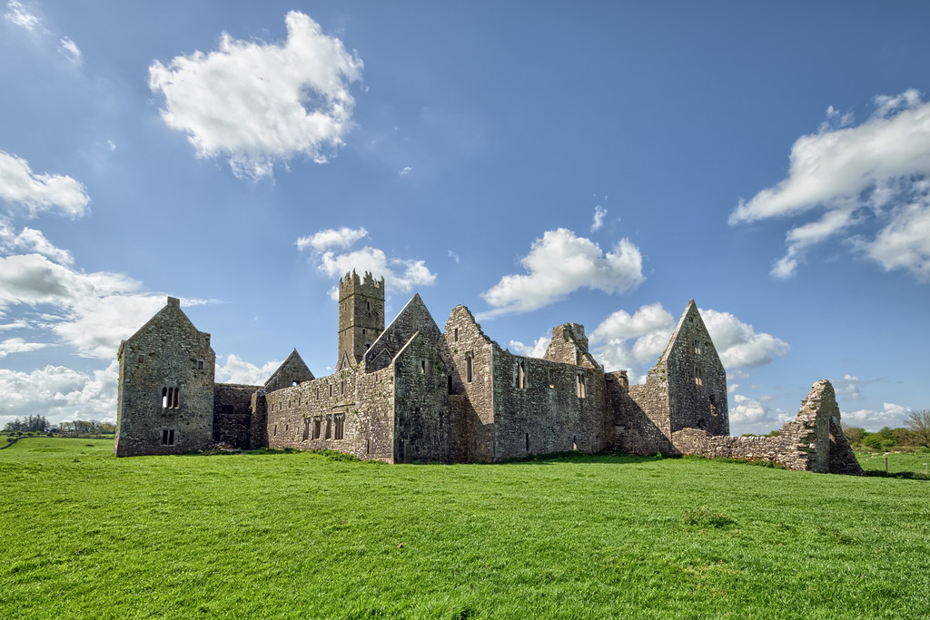
 Ross Errilly FriaryHeritage attraction · 2.7 mi
 Ballinduff BayBay · 3.0 mi
 BallynacreggaWood · 3.0 mi
 Willyrogue IslandIslet · 4.0 mi
Other information
Photo: Credit not shown in the picture search · Rights wording not checked; contact us if this picture should be removed