What is recorded here
Some 35m SE of Cloghanover Castle (GA056-054001-). It comprises a squat limestone boulder (L 0.6m, Wth 0.35m, H 0.6m), its long axis running NW-SE. According to OS Letters (O'Flanagan 1927, Vol. 1, 187), this stone is known locally as 'Cloch an Uabhair'. It is reputed 'to have been cast hither from a distant hill by a witch called Cailleach an Uabhair who impressed the marks of her thumb and three fingers in it' (ibid.). Two other similar boulders are also visible in the vicinity of the castle, 1m to W and 40m to NNE respectively.
The above description is derived from the published 'Archaeological Inventory of County Galway Vol. II - North Galway'. Compiled by Olive Alcock, Kathy de hÓra and Paul Gosling (Dublin: Stationery Office, 1999).
Date of upload: 05 August 2010
Likely dating to the Neolithic or Bronze Age, this standing stone may have had ritual or territorial significance. Its alignment and placement near a historic site suggest possible ceremonial or symbolic use in prehistoric landscape.
The monument record does not grant public access. Check the route and ask the landowner before entering private land.
- What survives
- Recorded monument
Places near here
 Cloghanower Castle in ruinsCastle, tower house · 34 yd
 TobereanyHoly well · 264 yd
 Church in ruinsChurch · 272 yd
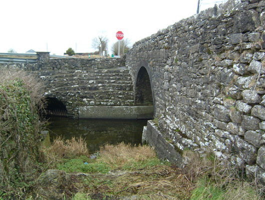 bridgebridge · 333 yd
 CaherachoolaArchaeological place · 777 yd
 Headford CastleCastle, unclassified · 1.2 mi
 Walsh's IslandIslet · 2.4 mi
 Kilcoona Round TowerHeritage attraction · 2.4 mi
 Ross Errilly FriaryHeritage attraction · 2.6 mi
 BallynacreggaWood · 2.9 mi
 Ballinduff BayBay · 3.0 mi
 Willyrogue IslandIslet · 3.9 mi